
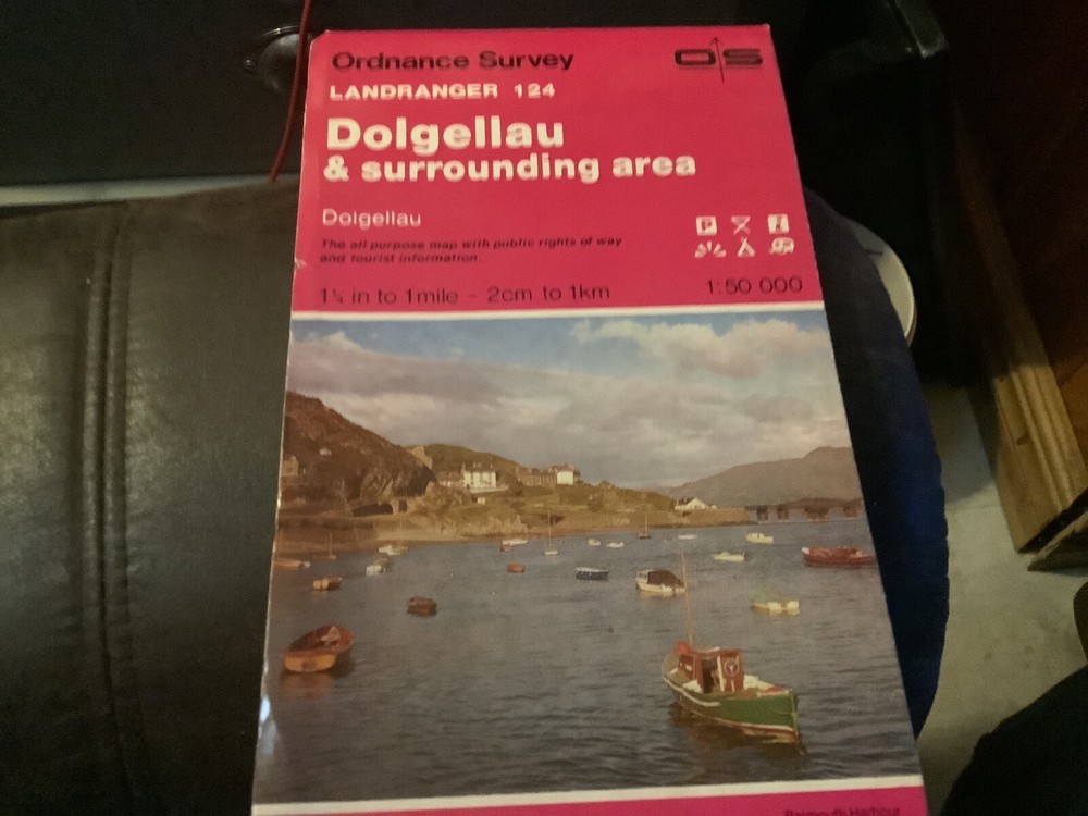
OS, Ordnance Survey Landranger map, no:141, Kettering & Corby
USD 7.94 USD
Specifications
| Country Of Origin | United Kingdom |
| Series | Ordnance Survey |
| Type | Landranger Map |
| Language | English |
| Publication Name | Ordnance Survey |
| Author | Ordnance Survey |
| Country | United Kingdom |
| Publisher | Ordnance Survey |
This is an Ordnance Survey Landranger map, number 141, covering the areas of Kettering and Corby in the United Kingdom. The map is in English and part of the Ordnance Survey series, providing detailed geographical information for the region. It is published by Ordnance Survey in the United Kingdom.
Related Items

Cork, Limerick, Kerry (Map) Irish Discovery Series (UK IMPORT)

1960 National Geographic Atlas Of The Fifty United States

Vintage National Grid Ordnance Survey Map Weston – Super – Mare Sheet 165 (B.37)

Philips Concise World Atlas Fifth Edition Hardcover Book Great Condition

Ben Wyvis and Strathpeffer (Map) OS Explorer Active Map

Ordnance Survey Explorer Map 1:25,000 383 Morvern & Lochaline (CURRENT)

INDIA THROUGH ICONIC MAPS by ANAND, DEEPTI Hardback Self Help Business

ATLAS OF THE WORLD: TWENTY-EIGHTH EDITION HARDCOVER **ACCEPTABLE**