
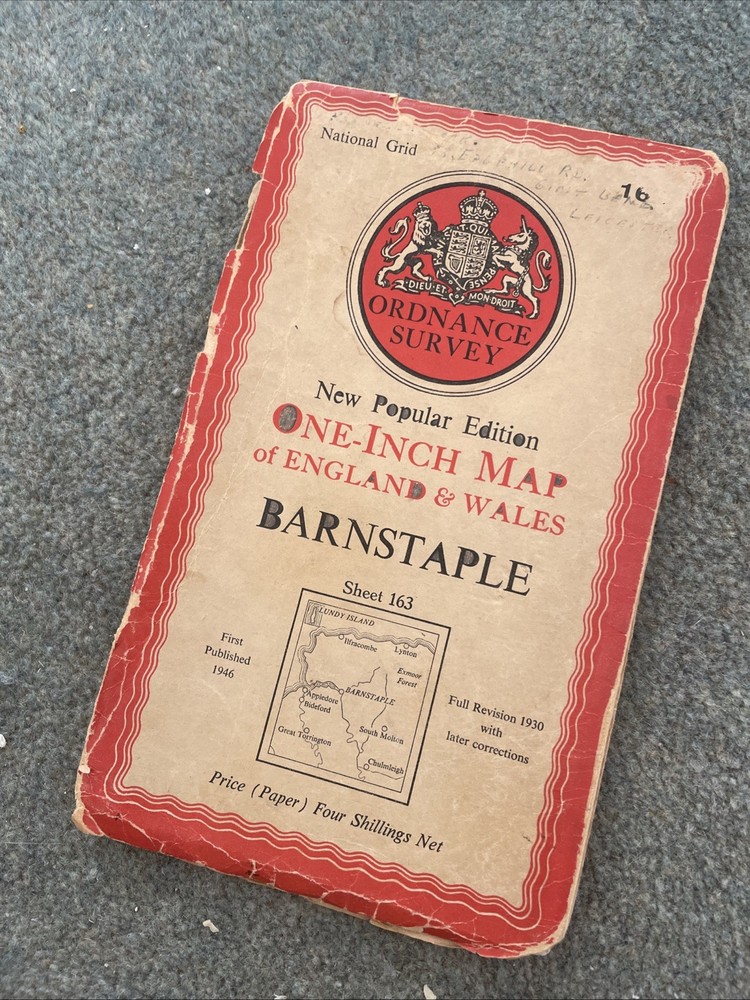


OS Ordnance Survey One Inch Paper Map, Barnstaple, Sheet 163, 1946
USD 5.25 USD
Specifications
| Series | Ordnance Survey |
| Publication Year | 1946 |
| Type | Road Atlas |
| Format | Chapbook |
| Language | English |
| Publication Name | Ordnance Survey |
| Region | Great Britain |
| Country | England |
| Author | Ordnance Survey |
| Features | Folding Map |
| Publisher | Ordnance Survey |
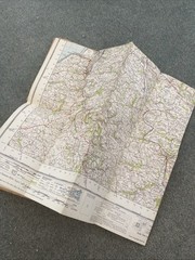
The OS Ordnance Survey One Inch Paper Map of Barnstaple, Sheet 163, from 1946 is a vintage road atlas featuring detailed mapping of Great Britain's England region. Published by the Ordnance Survey, this English language chapbook serves as a valuable reference for historical and geographical studies. With its timeless appeal and historical significance, this map captures the essence of England's rich landscape and topography, making it a prized collector's item for those interested in maps, atlases, and the history of Great Britain. Condition of the map itself is good but the cover has had pencil doodles added over the past 80 years!
Related Items

Vintage 100th Anniversary Road Map – The 1st Stroudsburg National Bank 1857-1957
Exploring Human Geography With – GOOD

VINTAGE GEOLOGICAL MAP BEWCASTLE CUMBRIA SHEET 12 DRIFT GEOLOGICAL SURVEY 1969

Explorer’s Guide 50 Hikes in Central Florida by Friend, Sandra

The Family Tree Historical Atlas of American Cities by Dolan, A.

World Facts & Maps: Concise International Review 1996 (Rand Mcnally World…

Freytag-Berndt GPVS I26 Via Slavorum, Hiking map 1:500.000 (Map) (UK IMPORT)

Liverpool (Stanley and Clarence Docks) 1848… by Parrott, Kay Sheet map, folded