
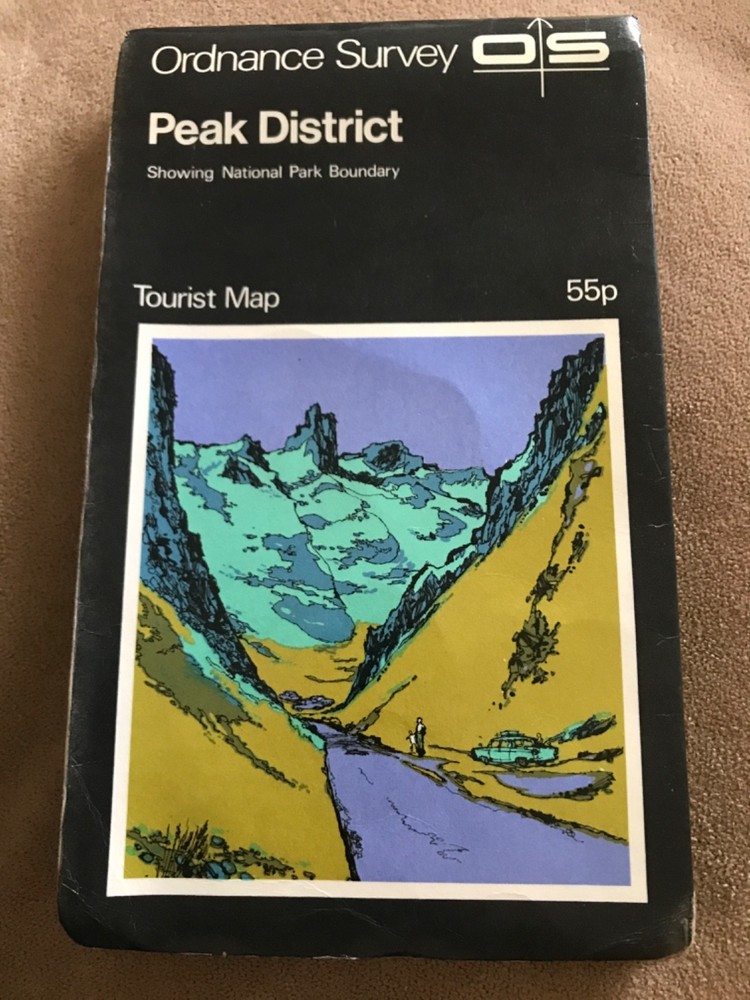
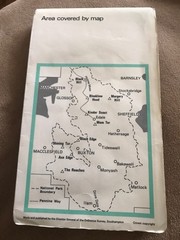
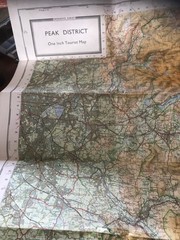
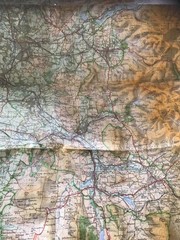
OS tourist map – PEAK DISTRICT 1970s.
USD 5.31 USD
Specifications
| Publication Name | Lake District |
| Publisher | Ordnance Survey |
| Series | Ordnance Survey |
| Type | Tourist map |
| Format | Folding Map |
| Language | English |
| Country | UK, United Kingdom |
| Features | Folding Map |
| UK Region | England |
| Country Of Origin | United Kingdom |
The OS tourist map - PEAK DISTRICT 1970s is a vintage folding map produced by the Ordnance Survey in the United Kingdom. Focusing on the Lake District region, this English-language map is a classic piece of cartographic history. Not modified or personalised, this map is a valuable tool for exploring the picturesque landscapes of Great Britain. Ideal for collectors or those interested in the topography of the UK, this Ordnance Survey map offers a glimpse into the past and allows users to navigate the stunning Peak District with ease.
Related Items

Dino’s Illustrated Maps United States And World Laminated Maps W54”xH38” 2 Maps

World Map Poster A2 Educational Children Kids No Tear Guarantee Little Wigwam

Spain & Portugal 2019 – Michelin National Map 734: Map (Michelin … by Michelin

Greater London (AA Street by Street) by AA Publishing Paperback / softback Book

Alan Godfrey Bristol (SW) & Bedminster 1902 (Map)

1946 OS Ordnance Survey 1″ Popular Edition Map 155 Bristol & Newport.

NOAA Recreational Chart 14842 South Shore Of Lake Erie Boating Maps charts 6th e

Spain map 1066-I (1066-1) Coin (Coín) hiking walking cycling topographic 1:25K