
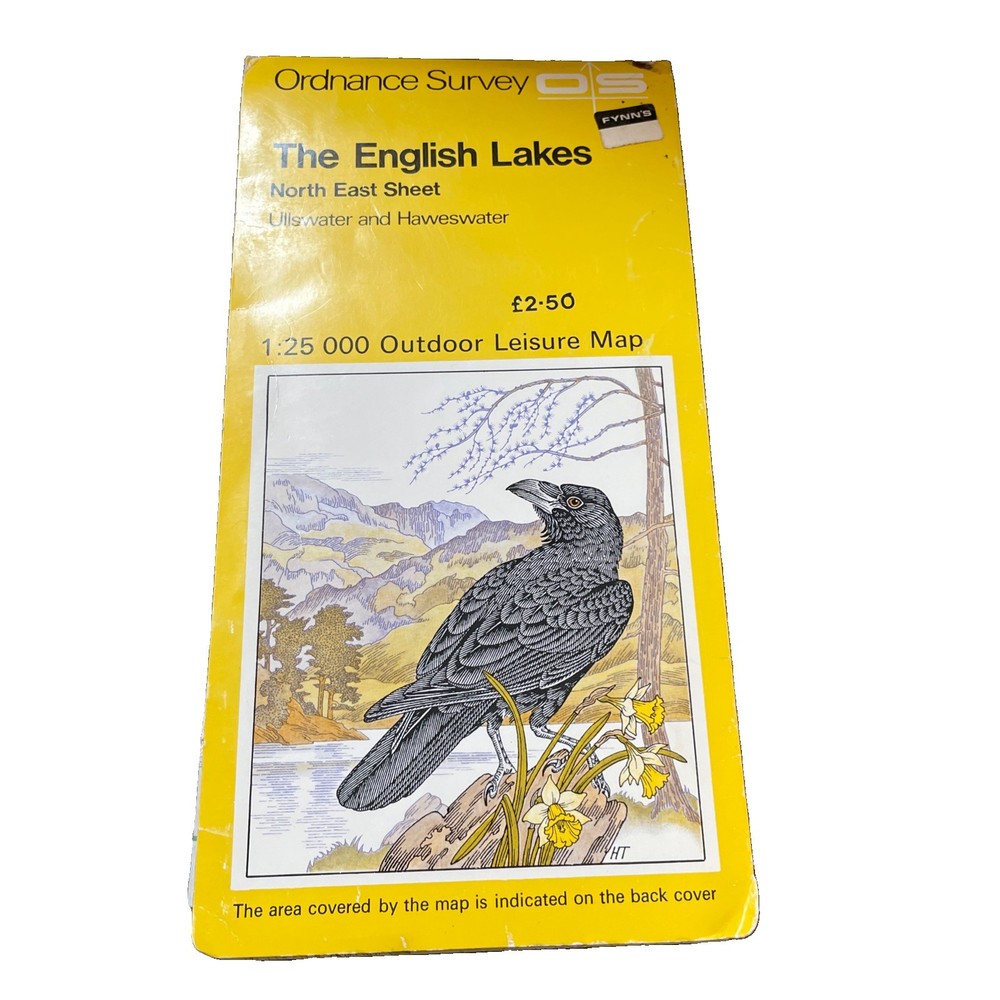
Outdoor Leisure Map The English Lakes North Eastern Ordnance Survey 1982
USD 3.34 USD
Specifications
| Publication Name | English Lakes NE Sheet |
| Publisher | Ordnance Survey |
| City | Sevenoaks, London |
| Subject | Geography & Geosciences |
| Series | Ordnance Survey |
| Type | Regional Map |
| Format | folded map |
| Language | English |
| ISBN | 9780319233344 |
| Author | Ordnance Survey |
| Region | Lake District |
| Country | England |
| Map Scale | 1:25,000 |
| Features | Folding Map |
| Country Of Origin | United Kingdom |
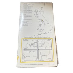
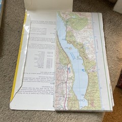
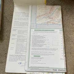
The Outdoor Leisure Map of The English Lakes North Eastern Ordnance Survey 1982 is a comprehensive regional map of Great Britain, focusing on the North Eastern part of the Lake District Published by Ordnance Survey in 1982 this folded map features a scale of 1:25,000 and is perfect for exploring the geography and geosciences of the area. With its detailed information and accurate cartography, this map is an essential tool for outdoor enthusiasts and travellers alike, providing a thorough guide to the beautiful landscapes of England's Lakes. Light wear to map. Has become detached from the cover. See Photo.light wear to cover.
Related Items

Lonely Planet Iceland Planning Map (Map) Map

Millennium World Atlas : A Portrait of the Earth in the Year 2000 by Dorling…

Ordnance Survey Landranger Map Sheet 191 Okehampton And North Dartmoor

OS Ordnance Survey 1″ Seventh Series Maps – Scotland, 1950s good cond. on paper
Buckingham 1938 Buckinghamshire Sheet 13.10 by Barrie Trinder

Deptford Royal Dockyard 1868-93 London Large Scale Sheet 11.20 by Pamela Taylor

Liverpool (London Road) 1848-64 Liverpool Large Scale Sheet 25 by Kay Parrott
OS Ordnance Survey Landranger Map Sheet 153 Bedford & Huntingdon – 2009 edition