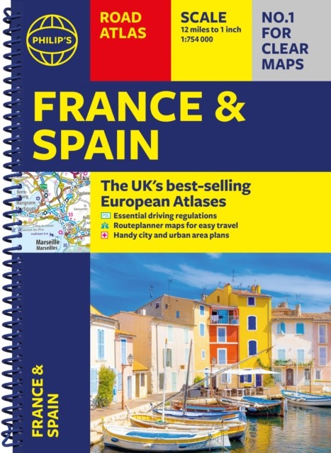

Philip’s France and Spain Road Atlas by Philip’s Maps (Spiral bound)
Specifications
| Author | Philip's Maps |
| Publication Year | 2026 |
| Format | Spiral bound |
| Language | eng |
| Country Of Origin | United Kingdom |
| Item Height | 1.4 cm |
| Item Length | 29.7 cm |
| Item Weight | 264 g |
| Item Width | 21.8 cm |
| Publication Name | Not Available |
| Type | Not Available |
| ISBN | 9781849077453 |
The latest edition of Philip's France and Spain Road Atlas, in an easy to use spiral A4 format, is the must-have atlas for anyone travelling or driving in these and the adjacent countries including Belgium, Luxembourg and Portugal. * Includes Up-to-date driving regulations, including speed limits;* Route-planning maps which enable journeys of over 800 miles to be planned without turning a page;* Clear, detailed road maps, with scenic routes highlighted and toll, toll-free and pre-pay motorways all clearly marked;* Large-scale urban-area maps;* City-centre plans marking historic buildings and tourist attractions, as well as car parks, head post offices and other facilities;* Listings for ski resorts and top visitor attractions in each of the main countries. From the market.
Related Items