
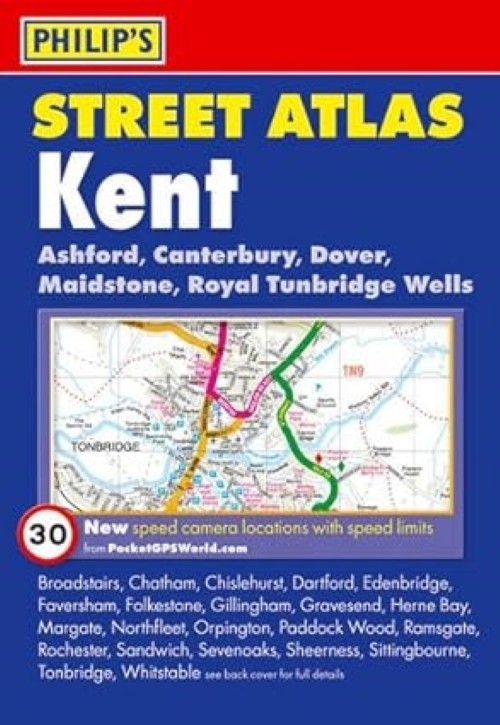
Philip’s Street Atlas Kent – Philip’s Maps (Paperback, 2010)
USD 10.80 USD
Specifications
| Publisher | Philip's |
| City | Kent |
| Publication Year | 2010 |
| Type | Atlas |
| Format | Paperback |
| Language | English |
| Item Height | 20.6 cm |
| Country | England, United Kingdom |
| Region | Great Britain |
| Map Scale | 3.5 inches to 1 mile |
| Features | Second Edition |
| Item Width | 14.3 cm |
| Item Weight | 485 g |
| Number Of Pages | 438 Pages |
| Country Of Origin | United Kingdom |
| ISBN | 9781849070232 |
All of our CDs, DVDs and Blu-Rays have been tested to ensure they're in full working order. 100% of the money raised from this sale will go to the charity. Arthur Rank Hospice Charity supports people in Cambridgeshire living with an advanced serious illness or other life-limiting condition and those who need end-of-life care.
Related Items

Lonely Planet Tokyo City Map, Paperback by Lonely Planet Publications (COR), …

UK Breweries Collect & Scratch Print (Map) Collect & Scratch Prints (UK IMPORT)

Lonely Planet Lonely Planet Korea Plannin (Map) (UK IMPORT) (PRESALE 10/01/2026)

LAND’S END Ordnance Survey One-Inch Map Sheet 189 7th Series 1961 (1966) Paper

Make The Most Of Your Time On Earth 3 (Rough Guide I…
Bartholomew Industrial Yorkshire England Motoring Map, 1973

A. to Z. Road Atlas of Great Britain: 3m-1″ (Road Atlases),Geographers’ A-Z Map

Lonely Planet Lonely Planet Portugal Planning Map (Map) Map