
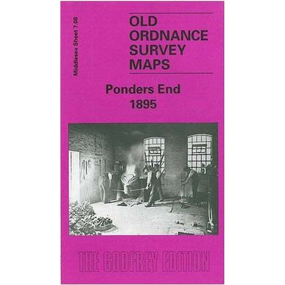
Ponders End 1895 (Middlesex Sheet 7.08) – Old OS Maps
USD 5.00 USD
Specifications
| Author | Alan Godfrey Maps |
| Publication Name | Ponders End 1895 |
| Type | Street Map/Directory |
| Publisher | Alan Godfrey Maps |
| Publication Year | 1999 |
| Region | Europe |
| Format | Folding Map |
| Language | English |
| Map Scale | 1:4,340 |
| Item Weight | 0.025kg |
| ISBN | 9781841510439 |
Features include Churchbury and Ponders End stations, the River Lea with Ponders End Lock, Corticine Works, White Lead Works, Flour Mill, nurseries, Durants Arbour, South Marsh. Each map includes extracts from a contemporary dirctory.
Related Items

The Address Book: What Street Addresses Reveal About Identity, Race, Wealth,…
MAP OF City of York 1889 (Coloured) Yorkshire Sheet 174.06 NEW 9781847849182

Devizes 1899 Wiltshire Sheet 34.13 by Alan Godfrey

Ordnance Survey Quarter-Inch Map, Sheet 17: South East England (1974).

Satellite World Atlas – 9781586630690, Metrobooks, hardcover

World War I Illustrated Atlas: Campaigns, Battles & Weapons from 1914-1918

Leeds & Bradford A-Z

Tony Kirby Elizabeth Baigent An Historical Map of Cambridge (Map)