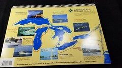
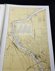
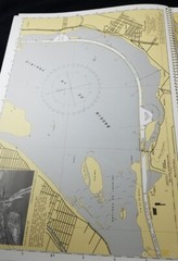
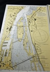
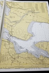
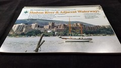
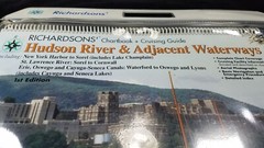
Richardson’s Hudson River & Adjacent Waterways Chartbook + Cruising Guide
Specifications
| Return Shipping Will Be Paid By | Buyer |
| All Returns Accepted | Returns Accepted |
| Item Must Be Returned Within | 14 Days |
| Refund Will Be Given As | Money Back |
| Publisher | Richardson's |
| Item Length | 18 in |
| Subject | Navigation waterways |
| Publication Year | 1999 |
| Type | Nautical Navigation |
| Format | Ring/Wire Bound |
| Language | American English |
| Item Height | 12 in |
| Author | Unknown |
| Country | United States |
| Region | North East USA |
| Features | 1st Edition |
| Country/Region Of Manufacture | United States |
| Number Of Pages | 112 |
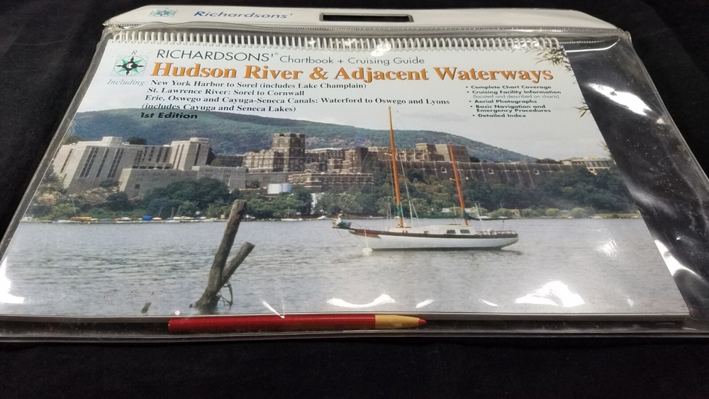
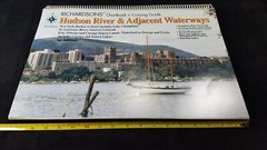
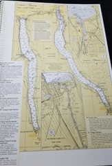
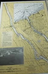
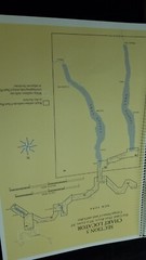
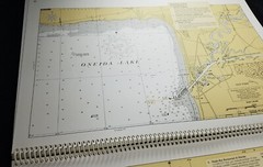
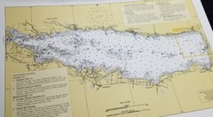
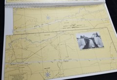
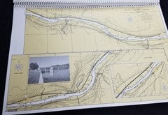
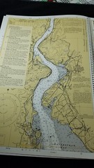
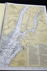
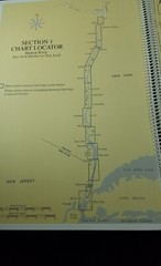
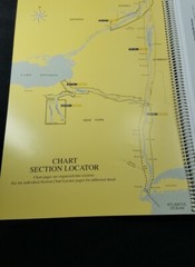
Richardsons Hudson River & Adjacent Waterways Chartbook + Cruising Guide. 1999, 1st Edition, 112 pages. This like new chart book comes in a clear water resistant carrying case. The chartbook measures 18" x 12". The waterways included in this fabulous chartbook includes the following: New York harbor to Sorel (includes Lake Champlain. St. Lawrence River: Sorel to Cornwall Erie, Oswego, and cayuga-Seneca canals Waterford to Oswego and Lyons ( includes Cayuga and Seneca Lakes. I am an experienced boater and know how important it is to have a good reliable chartbook to navigate such big and busy waterways. I know you will typically use your electronics GPS , but if you lose power, this could be your lifesaver. Thank you for your interest. 12-21-22
Related Items