

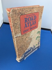
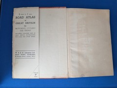
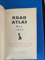

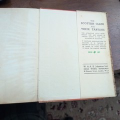

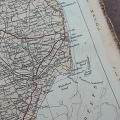
“Road Atlas of Great Britain” Johnston (c.1940 WWII Control of Maps Order)
USD 18.73 USD
Specifications
| Publisher | W & AK Johnston, LTD |
| Subject | Great Britain |
| Publication Year | 1940 |
| Type | Road Atlas |
| Unit Type | Unit |
| Format | Book, Hardcover |
| Language | English |
| Author | W & AK Johnston |
| Country | United Kingdom |
| Region | Great Britain |
| Map Scale | 1:190,080 |
| Country Of Origin | United Kingdom |
| Number Of Pages | 324 |
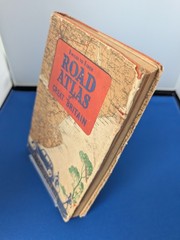
JOHNSTON LTD. W. & A. K. Johnston Ltd. Atlas Details. Restricted mapping interest / pre-motorway Britain. Transport History. Original pictorial wrapper is present but worn, rubbed and torn, with losses and edge wear.
Related Items

Birmingham and Wolverhampton (Cassini Popula… by Casini Maps Sheet map, folded

Vintage Goode’s World Atlas Rand McNally 12th Edition Third Printing 1965

NORTHERN CALIFORNIA Delorme Atlas&Gazetteer Map Book Topo Back Roads Recreation

UNCOMPAHGRE NATIONAL FOREST Service MAP (PLATEAU DIVISION) – Colorado 2014 USDA

Goode’s World Atlas 11th Edition 1960 Rand McNally Fifth Printing Hard Cover

Bearwood 1903 (Old O.S. Maps of Staffords… by Maddison, John Sheet map, folded

National Geographic Maps Scotland Classic, Laminated (Map) (UK IMPORT)

Anglesey (Map) OS Landranger Active Map