
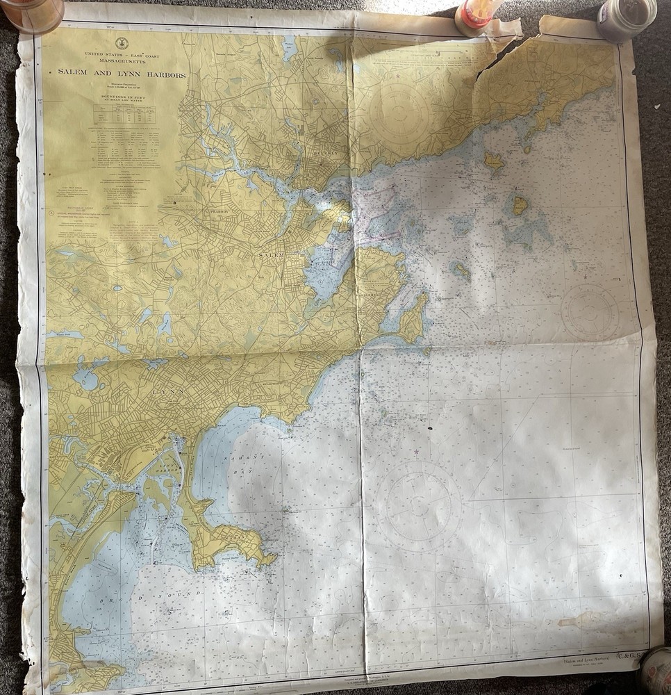
Salem and Lynn Harbors Vintage 1960’s Chart
USD 29.99 USD
Specifications
| Subject | Geography & Geosciences |
| Publication Year | 1960 |
| Type | Natical |
| Format | Wall Map |
| Language | English |
| Region | North America |
| Country | United States |
The Salem and Lynn Harbors Vintage 1960’s Chart is a wall map of North America, specifically focusing on the United States. Published by TrakMaps, this English-language chart is a unique and informative piece for those interested in geography and geosciences. Measuring in oz, this single-page map is a valuable addition to any collection of vintage maps or educational materials from the 1960s.
Related Items
Deer Island Thorofare and Casco Passage | Waterproof NOAA Chart 13315

Blackburn & Burnley, Clitheroe & Skipton (Map) OS Landranger Active Map

Maptech Digital ChartKit Chesapeake / Delaware Bays 10th Ed. PC Software WIN

Atlas Maior by Peter Van der Krogt (2005, Hardcover)

Edge Hill 1905: Lancashire Sheet 106.15 (Ol… by Parrott, Kay Sheet map, folded

Bartholomew’s Map of England and Wales, Sheet 35, North Devon, J. Bartholomew, V

Satellite Atlas of the World Hardcover

Freytag-Berndt Europe by district 1:3.7m (Map) (UK IMPORT)