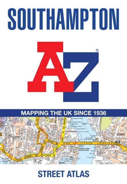

Southampton A-Z Street Atlas by A-Z Maps (Paperback Book)
Specifications
| Author | A-Z Maps |
| Publication Year | 2025 |
| Format | Paperback |
| Language | eng |
| Country Of Origin | India |
| Item Height | 0.5 cm |
| Item Length | 21.5 cm |
| Item Weight | 122 g |
| Item Width | 14.9 cm |
| Publication Name | Not Available |
| Type | Not Available |
| ISBN | 9780008730888 |
Navigate your way around Southampton with this detailed and easy-to-use A-Z Street Atlas. Printed in full-colour, paperback format, this atlas contains 50 pages of continuous street mapping. The main mapping extends beyond central Southampton at a scale of 4 inches to 1 mile, featuring postcode districts, one-way streets, park and ride sites, and safety camera locations. Areas covered include:• Eastleigh• Fawley• Hythe• Romsey• Southampton Airport• Totton• Chandler's Ford• Hamble-le-Rice• Hedge End• North Baddesley The large-scale street map of Southampton city centre – at a scale of 8 inches to 1 mile – includes:• Postcode map of the Southampton area• Road map of the Southampton area• New Forest National Park boundaries A comprehensive index lists.
Related Items