


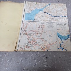
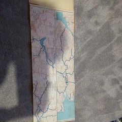
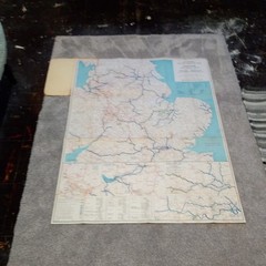


Stanford’s Inland Cruising England vintage 1965 (8 Miles – 1 inch)
USD 11.87 USD
Specifications
| Publication Year | 1965 |
| Type | inland cruising |
| Country | England |
| Author | Edward Stanford |
| Publisher | Edwards Stanford |
| UK Region | England |
| Subject | maps |
| Country Of Origin | United Kingdom |
Stanford's Inland Cruising Map of England, published in 1965 by Edward Stanford, provides a detailed guide for navigating the inland waterways of England. The map, measuring 8 miles to 1 inch, is a vintage collectible that showcases the beauty and charm of the UK region. This publication is a valuable resource for those interested in exploring the canals and rivers of England by boat, offering a comprehensive map for planning and enjoying a leisurely cruise along the waterways.
Related Items

1968 vintage Bartholomew Half-inch map No 35 Teesdale
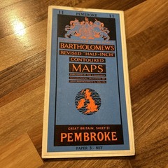
PEMBROKE Bartholomew Revised Contoured Half Inch Map Sheet 11 Paper 1961

OS Ordnance Survey Landranger Map Sheet 196 The Solent & the Isle of Wight; 2004

Imray Chart Pack 2100: Kent and Sussex Coasts (Spiral Bound)

Ordnance Survey Quarter inch map – North West Scotland – Sheet 2 – 1974- Paper

OS – Ordanance Survey Landranger Map No 98 – Wensleydale & Upper Wharfdale.
W.&A.K. Johnston’s New Map of Scotland – sheet 6 3ins to mile for tourists etc

Vintage Second World War 1948 Ordnance Survey Map – York, WWII Map 97