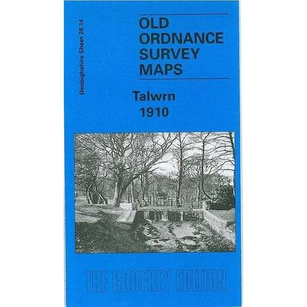
Talwrn 1910 (Denbighshire Sheet 28.14) – Old OS Reproduction Map
Specifications
| Return Postage Will Be Paid By | Buyer |
| Returns Accepted | Returns Accepted |
| After Receiving The Item, Your Buyer Should Cancel The Purchase Within | 30 days |
| Author | Alan Godfrey Maps |
| Publication Name | Talwrn 1910 |
| Type | Street Map/Directory |
| Publisher | Alan Godfrey Maps |
| Series | Old OS Maps - Wales |
| Region | Europe |
| Format | Folding Map |
| Language | English |
| Item Weight | 0.025kg |
| MPN | Does not apply |
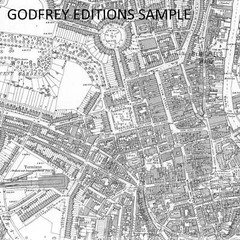
eBay Store Design by Visualsoft Talwrn 1910 (Denbighshire Sheet 28.14) - Old OS Reproduction Map £3.500 | This detailed map covers the Talwrn area, SW of Wrexham. Coverage stretches from Offa's Dike westward to Bronwlfa Wood. Features include the GWR Rhos Branch, Legacy station and a short stretch of the Legacy Branch, Talwrn, Bryn-yr-Owen, Pentre-bychan Hall, Cadwgan Hall, Bronwylfa, Vrondeg Hall, Aber-oer. Directories of Esclusham Below and Above, plus a railway timetable for the Wrexham to Ponkey Crossing Halt and Wrexham to Wynn Hall Halt lines are included on the reverse.The map links up with sheets 35.02 Rhosllanerchrugog to the south. Ask a Question Description About the 'Alan Godfrey Old Ordnance Survey Maps' Series Alan Godrey has so far published over 2,000 of these detailed street maps for towns in England, Wales and Scotland. The Maps are highly detailed, taken from the old Ordnance Survey 1/2500 scale plans and reprinted at about 14 inches to the mile (1:4,340). Most maps cover about one mile (1.6kms) by one and a half miles (2.4kms) - Adjoining sheets can be assembled together to provide wider coverage. They cover towns in great detail, showing individual houses and property boundaries, railway tracks, factories, churches, mills, canals, tramways and even minutiae such as dockside cranes, fountains, signal posts, pathways, sheds, wells, etc. A number of locations are covered by two or three maps, each covering different time periods allowing you to see the development of the area over half a century or more. In addition, Alan Godrey are now offering some coloured maps - making use of the original hand-coloured versions from Ordnance Survey. Alan Godfrey’s reproductions use the sheet reference sequence of the original Ordnance Survey maps which were arranged by county. We have added county and city tags to the vast majority of the maps, using these filters will make it easier to find the map you want! - However, if you are struggling please just get in contact and we will be happy to help. eBay Store Design by Visualsoft
Related Items