
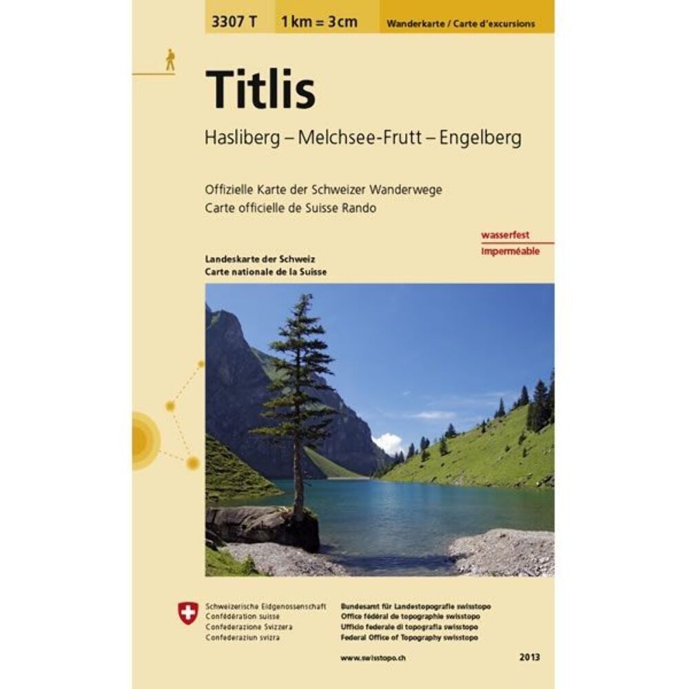
Titlis (Switzerland) Walking Map 3307T – Hasliberg, Melchsee-Frutt and Engelberg
USD 14.73 USD
Specifications
| Author | Swisstopo |
| Brand | Climb Europe |
| Country Of Origin | Switzerland |
| Format | Folding Map |
| Genre | Sports, Adventure |
| Map Scale | 1:33, 333 |
| Publication Name | Swisstopo |
| Publication Year | 2021 |
| Publisher | Swiss Topo |
| Topic | Walking and Hiking |
| Type | Hiking Map |
| ISBN | 9783302333076 |
Titlis is the highest summit of the range north of the Susten Pass, between the Bernese Oberland and Central Switzerland. Published by Swisstopo in cooperation with the Swiss Hiking Federation this map is printed on light, waterproof and tear-resistant paper.
Related Items

Ordnance Survey (OS) 1:25,000 First Series Map Sheet SP 43 Bloxham
North American Maps for Curious Minds: 100 New Ways to See the Continent

Morocco Tazenakht Anti-Atlas East Topographic Map
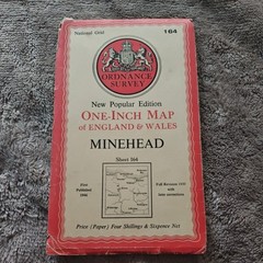
OS Ordnance Survey 1″ New Popular Edition 164 Minehead – 1946 on paper
Switzerland – general map (Map) (UK IMPORT)

1963 Standard Oil map – Oklahoma

OS one-inch map 7th Series Sheet 170 London SW 1959

DORKING & REIGATE, CRAWLEY&HORSHAM – OS LANDRANGER MAP No.187 – Ordnance Survey