


Tudor map of Great Britain and Ireland by John Speed
USD 6.67 USD
Specifications
| Antique | Yes |
| Publication Year | 1998 |
| Type | Atlas |
| Publication Name | The Counties of Britain |
| Country | England |
| Author | unknown |
| Publisher | Pavilion Books |
| Number Of Items | Single |
| Postage Condition | Posted |
This map of Great Britain and Ireland has been carefully taken from a book printed in 1988 The stunning map captures the view of the country as seen in the Tudor times making it a must-have for anyone who loves these images The map is in 2 sections and be aware that there may be a misalignment on the on the joint which I have shown in the photos. Sizes in the photo. The map will be sent in a plastic sleeve inside a cardboard reinforced envelope.
Related Items

BARTHOLOMEW Half Inch Cloth Maps x7 Wales Trent Solway Clyde Ayrshire Islay Skye

Bacon’s Motor Road Map of Southern England CLOTH 8 miles to 1 inch

Cheshire Pathfinder Walking Guide Ordnance Survey by Neil Coates PAPERBACK

OS Ordnance Survey First Series Sheet Map 181 Minehead & Brendon Hills 1974 172G

Camps Australia Wide 6 Sixth Edition (Spiral Bound) Over 3700 Listings
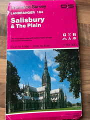
Vintage 1991 SALISBURY AND THE PLAIN Ordnance Survey map 184
Atlas of World Geography by Rand McNally
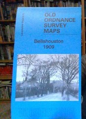
MAP OF Glasgow (Bellahouston) 1909 (Lanarkshire Sheet 6.13a) – NEW