
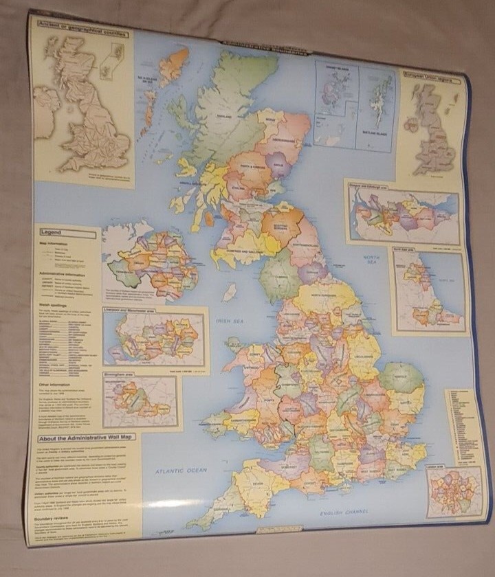


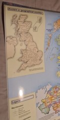
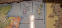
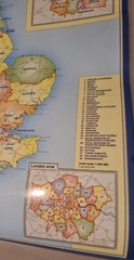
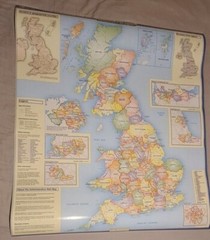
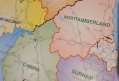
United Kingdom Large Laminated Map – Administrative Boundaries Ordnance Survey
USD 13.46 USD
Specifications
| Country Of Origin | United Kingdom |
| Publisher | Ordnance Survey |
| Subject | Geography & Geosciences |
| Series | Ordnance Survey |
| Publication Year | 1998 |
| Type | Wall map |
| Unit Type | Unit |
| Format | Laminated Wall Map |
| Language | English |
| Item Height | 104.5 cm |
| Author | Ordnance Survey |
| Country | United Kingdom |
| Features | Laminated |
| Map Scale | 1:1,000,000 |
| Item Width | 92.5 cm |
This wall map shows the National, County and Unitary Authority administrative boundaries in the United Kingdom. There is also an insert showing the historical counties and the UK regions.
Related Items

Hammond Historical World Atlas Revised Illustrated Hardcover Mapmakers

Ordnance Survey 1 In Map of Sheerness & Dungeness – Sheet 73 – Paper – Reprint

New Concise World Atlas

Ordnance Survey Explorer Map 106: Newquay & Padstow (2008).

Dorling Kindersley World Atlas:The Atlas for the 21st Century, UNOPENED SLIPCASE

15x Ordnance Survey Outdoor Leisure 8, 38 Landranger Scotland Highlands Islands

Vintage 1961 C.S. Hammond American History Atlas Geography Maps Reference Info

Bacon’s gem map of London and suburbs : G.W. Bacon & Co.