



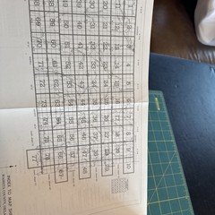
USDA Soil Survey of Washita County Oklahoma 1975 Illustrated Large Detail Maps
Specifications
| Features | Illustrated |
| Publication Year | 1975 |
| Type | Geological Map |
| Format | Trade Paperback |
| Language | American English |
| Item Height | 11.25” |
| Country | United States |
| Country Of Origin | United States |
| Item Weight | 1 Lb. |
| Item Width | .75” |
| Number Of Pages | 122 Plus Maps |
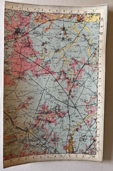
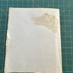
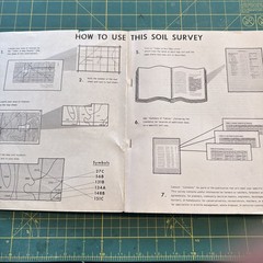
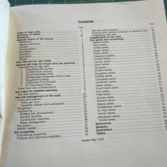
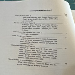
The product is a detailed soil survey map of Washita County, Oklahoma, published in 1975 by the United States Department of Agriculture. This geological map features illustrated large detail maps, making it a valuable resource for those interested in soil science, geography, and agriculture. The authors of the survey are the United States Department of Agriculture Soil Conservation Service, providing a comprehensive look at the soil characteristics and composition of the region. This trade paperback publication measures 9" in length, 11.25" in height, and includes 122 pages along with the maps. In good vintage used condition, some signs of wear and use associated with 50 years of age. Minor tears on edges of cover as noted in photos, stains on back cover.
Related Items