
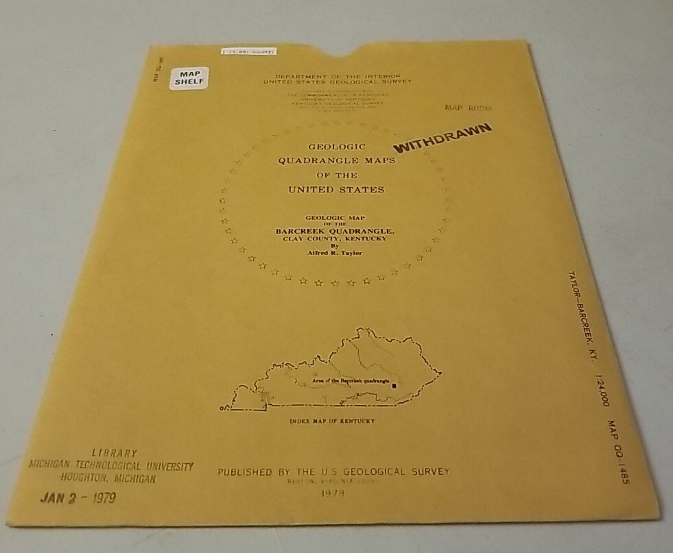

USGS Geologic Folding Map Barcreek Quadrangle, Clay County, Kentucky w/Sleeve
USD 14.39 USD
Specifications
| Country Of Origin | United States |
| Publisher | US Geological Survey |
| Subject | Maps |
| Publication Year | 1978 |
| Type | Geological Map |
| Language | American English |
| Country | United States |
| Author | Alfred R. Taylor |
| Region | Kentucky |
| Map Scale | 1:24,000 |
USGS Geologic Map:Geologic map of the Barcreek quadrangle, Clay County, Kentucky. Authentic original folding paper map published by the US Geological Survey in 1978. Appears little-used with light to moderate wear on sleeve and light or less wear on map.
Related Items

New Concise World Atlas 2007 HC Third Edition OXFORD

Star Trek Stellar Cartography Starfleet Reference Library Maps Complete Set

Scarborough’s New Standard World Atlas – New Census Edition 1911/1912

Bartholomew Map Vale Of Severn Worcester Vintage 70s 1971 Paper ½” Free Post UK

MICHIGAN ATLAS & GAZETTEER Detailed Topographic Maps 2002 10th EDITION DeLorme

Ordnance Survey Map Sheet 12 Thurso & Wick (1:50 000 Map) 2nd Series

Lot of 3 Maptech ChartKit Norfolk, Va to Florida and Intracoastal Region 6 Book

Kahshe Lake | Waterproof Chart | 20 x 28