
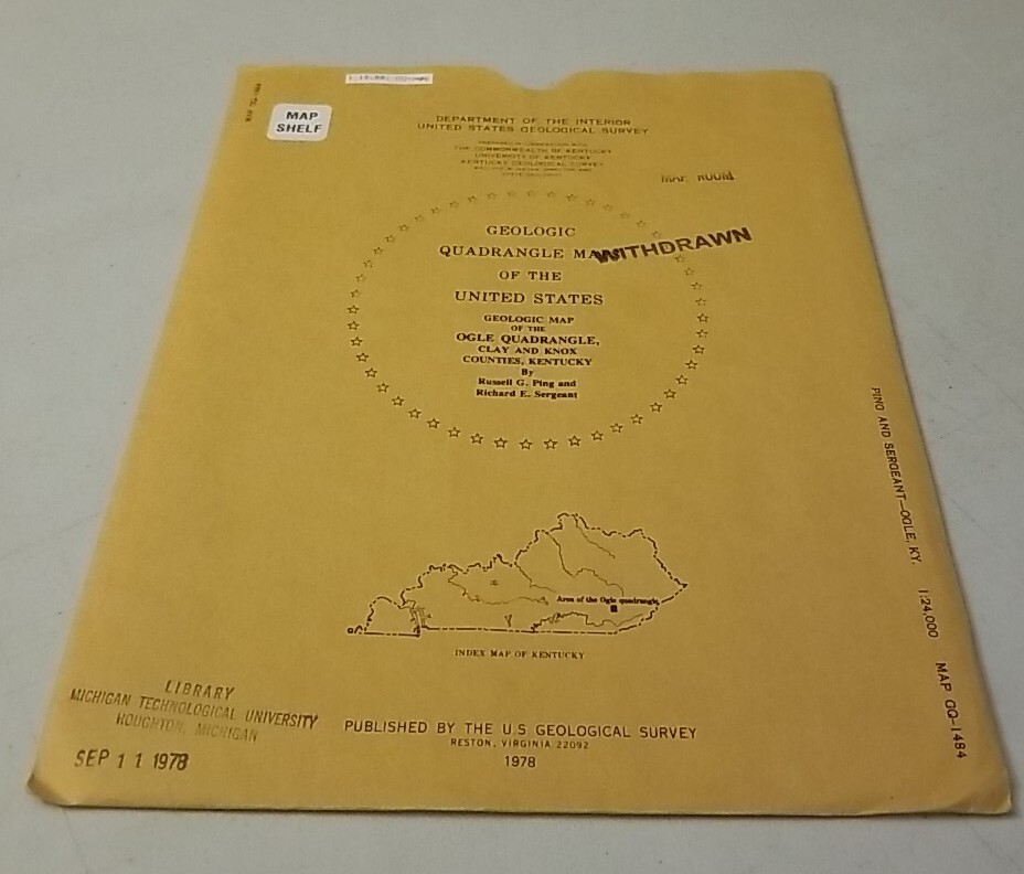

USGS Geologic Map Ogle Quadrangle, Clay & Knox Counties, Kentucky w/Sleeve
USD 14.39 USD
Specifications
| Country Of Origin | United States |
| Publisher | US Geological Survey |
| Subject | Maps |
| Publication Year | 1978 |
| Type | Geological Map |
| Language | American English |
| Country | United States |
| Region | Kentucky |
| Map Scale | 1:24,000 |
USGS Geologic Map:Geologic map of the Ogle quadrangle, Clay and Knox Counties, Kentucky. Authentic original folding paper map published by the US Geological Survey in 1978. Appears little-used with light to moderate wear on sleeve and light or less wear on map.
Related Items

Antique Cary’s Reduction of his Large Map of England & Wales, Scotland 1823

MAP OF Cheviot Hills & Kielder Water 1868-1869 Cassini Old Series Sheet 80 NEW

NEW Route 66 EZ 66 GUIDE FOR TRAVELERS 6th EDITION By Author Jerry Mcclanahan

Pennsylvania Tour Book Guide Atlas Maps Events Hotels Motels 2021

Rivière Koksoak | CHS Chart 5338 (47 x 34)

AAA 2016 Western Canada & Alaska Tour Book Guide With Atlas Map Country Series

Northumberland Strait (West), Ports & Harbours| CHS 4909 (34×48)
Ordnance Survey Map Of Great Britian – SOUTHEND ON SEA – 1965 – 1/63360