
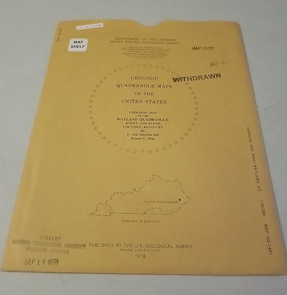

USGS Geologic Map Wayland Quadrangle Knott & Floyd Counties, Kentucky w/Sleeve
USD 13.49 USD
Specifications
| Publisher | US Geological Survey |
| Subject | Maps |
| Publication Year | 1978 |
| Type | Geological Map |
| Language | American English |
| Country | United States |
| Region | Kentucky |
| Map Scale | 1:24,000 |
| Country/Region Of Manufacture | United States |
USGS Geologic Map:Geologic map of the Wayland quadrangle, Knott and Floyd Counties, Kentucky. Authentic original folding paper map published by the US Geological Survey in 1978. Appears little-used with no detected blemishes.
Related Items

bristol & bath sheet 172 ordnance survey

Genealogy Family Maps Cemetery Iowa County Iowa

Blairgowrie Map – Ordnance Survey Sheet 49 – 1958

Ordnance Survey Map 1:50,000 Sheet 181 Minehead & Brendon Hills

Maryland & Delaware Dodd Mead & Co map 1891 12 x 10 ins

National Geographic Atlas Of The World Eighth Edition Preowned Box Large Book

Lexington Kentucky Map Set – AAA 1988 + Visitors Guide – 2 Vintage Road Maps

Chart Kit BBA Florida West Coast & The Keys Region 8 89 Full Color Charts B221