
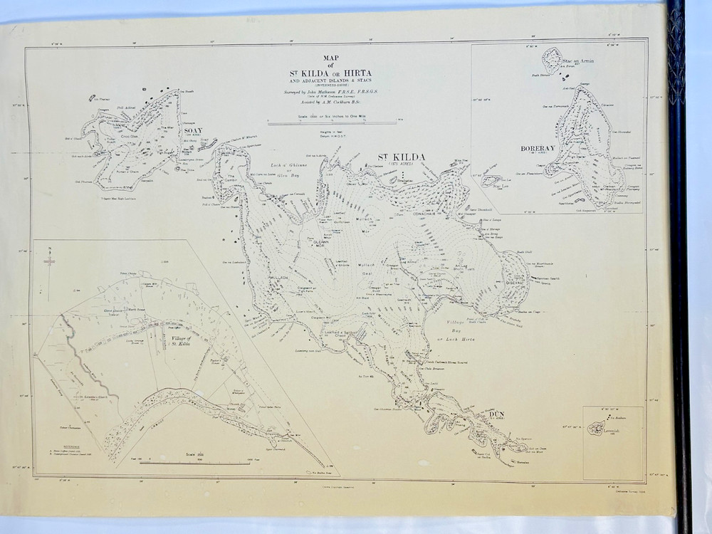


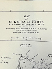
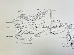
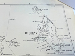
Vintage 1928 Ordnance Survey Map – St Kilda / Hirta & Islands, 850×595mm
USD 172.81 USD
Specifications
| Type | Map |
| Publication Name | St Kilda |
| Author | Ordance Survey |
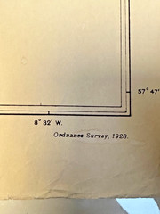
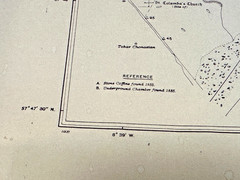
The map was surveyed in1926 and published in1928, showing St Kilda (Hirta) along with Soay, Boreray, Dùn and surrounding stacs, with detailed coastal features and inset plans. This is anoriginal period Ordnance Survey map, not a modern reproduction.
Related Items

OS Ordnance Survey Landranger Map Sheet 189 Ashford & Romney Marsh – 2002

Ambleside (Map) 1: 50 000 Series Geological Maps (England & Wales) (UK IMPORT)

Freytag-Berndt Botswana, road map 1:1,100,000 (Map)
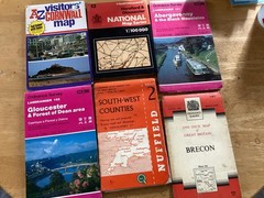
ordnance survey maps bundle South West Counties Abergavenny Black Mountains

Photographing the Great Smokey – GOOD

Cambridge Street-Names: Their Origins and Associations By Ronald

Concise Atlas of World History – hardcover O’Brien, Patrick

Lonely Planet Lake District & Cumbria Plan… by Lonely Planet Sheet map, folded