

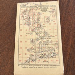
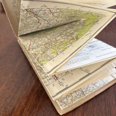
Vintage Ordnance Survey Map Sheet 182 Brighton & Worthing Cloth Edition
USD 17.47 USD
Specifications
| Publisher | Ordnance Survey |
| City | Brighton And Worthing |
| Series | New Popular Edition |
| Publication Year | 1940 |
| Type | Road Atlas |
| Format | Cloth Book |
| Language | English |
| Author | Ordnance Survey |
| Country | United Kingdom |
| Region | Great Britain |
| Map Scale | 1:50,000 |
| Features | Folding Map |
| Country Of Origin | United Kingdom |
A desirable cloth backed folding map covering Brighton, Worthing and the surrounding Sussex area, including locations such as Arundel, Littlehampton, Steyning, Horsham, Haywards Heath, Cuckfield and Hurstpierpoint.
Related Items

Genealogy Family Maps Cemeteries Darke County Ohio

OS MAP LOCH LOMOND & THE TROSSACHS VINTAGE 1979 TOURIST MAP ORDNANCE SURVEY
The international atlas: World latitudes, longitudes, and time changes
Concise Road Atlas Britain AA 2005 Paperback Book

On the Map: A Mind-Expanding Exploration of the Way the World Looks (ALA Not…

Far Eastern Fells (Map 2) (Wainwright… by Wainwright, Alfred Sheet map, folded
OS Ordnance Survey Landranger Map 1989, Sheet 173 – SWINDON & DEVIZES

Vintage Ordnance Survey One Inch Map Of London SW