
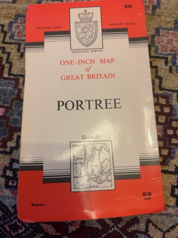



Vintage Ordnance Survey Map Sheet 25 Portree Skye Seventh Series 1963
USD 13.46 USD
Specifications
| Publication Year | 1963 |
| Publisher | Ordnance Survey |
| City | Portree |
| Subject | Geography & Geosciences |
| Series | Seventh Series |
| Type | Hiking Map |
| Format | Folding Map |
| Language | English |
| Author | Ordnance Survey |
| Region | Great Britain |
| Features | Folding Map |
| Country Of Origin | United Kingdom |
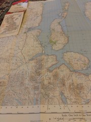
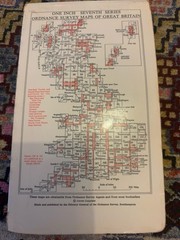
Vintage Ordnance Survey One Inch Map of Great Britain, Sheet 25 Portree. Seventh Series folding paper map covering Portree and surrounding areas of the Isle of Skye. Fully revised in 1955, major roads revised 1962, and reprinted with minor changes in 1963. Features detailed topographical information, roads, contours, landmarks, coastal features and grid references. The map is in good vintage condition with expected age related handling and fold wear. Cover remains present and the map displays well. Please examine all photographs carefully as they form part of the description. Ideal for collectors of vintage maps, Scottish history, cartography, hiking memorabilia, or anyone with an interest in the Isle of Skye.
Related Items

Ordnance Survey Explorer Map 19 West Pennine Moors Waterproof Blackburn OS

National Geographic Trails Illustrated Montana Glacier Waterton Lakes NP Map 215
Ordnance Survey – 1:50000 1st Srs Sheet 160 – Brecon Beacons – 1974 NEAR FINE
2025 Philip’s Big Road Atlas of Britain & Ireland by Philip’s Maps

Vintage 1961 C.S. Hammond American History Atlas Geography Maps Reference Info

Cockpit Confidential: Everything You…, Smith, Patrick

Vintage Bartholomew’s Revised Half-inch Contoured PAPER Map Blue Cover

The Norton Book of Travel by Fussell, Paul