
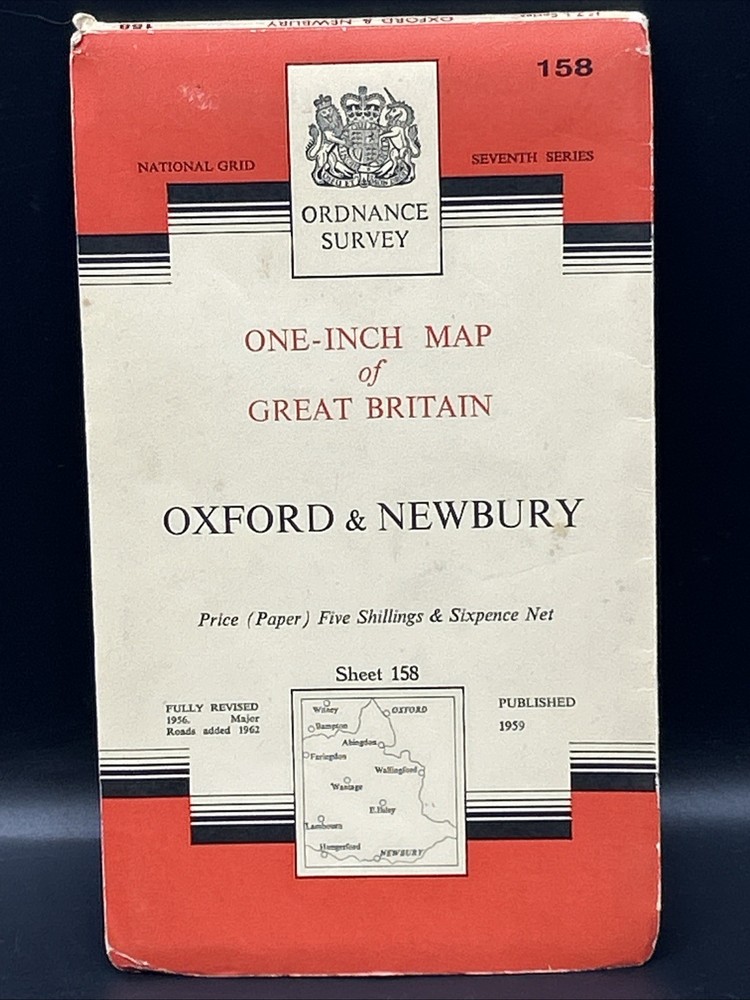

Vintage Ordnance Survey One Inch Oxford & Newbury Map On Paper Seventh Series
USD 4.02 USD
Specifications
| Country Of Origin | United Kingdom |
| Publication Year | 1959 |
| Type | Geological Map |
| Format | Sheet Map |
| Language | British English |
| Publication Name | Ordnance Survey |
| Country | England, United Kingdom |
| Author | Ordnance Survey |
| Features | Folding Map |
| Map Scale | 1:63360 |
| Publisher | Ordnance Survey |
| City | Oxford & Newbury |
This product is a vintage Ordnance Survey one inch map of Oxford and Newbury from the seventh series, published in 1959. The map is a geological sheet map in British English, showcasing the detailed features of the city and surrounding areas at a scale of 1:63360. Produced by Ordnance Survey in the United Kingdom, this folding map is a valuable historical reference for those interested in exploring the mapping history of England and its cities.
Related Items
Bideford 1904 Devon Sheet 19.06 by Richard Oliver

Inverness & Loch Ness, Strathglass by Ordnance Survey (Sheet map, folded)

Battle of Britain Dorset HC Book Signed By Rodney Legg

Hull (NW) 1908 or Hull (NE) 1909 Yorkshire Sheets 226.14 or 226.15
Vintage Ordnance Survey Torquay Sheet 188 Cloth Map 1946 With Writing
MAP OF Childwall & Court Hey 1906 LANCASHIRE 9781847847898 Kay Parrott – NEW
Ordnance Survey – OS 1:25,000 First Series Map Sheet SO 56 Tenbury Wells

Ordnance Survey Landranger Map Sheet 171 Cardiff & Newport – 1998