
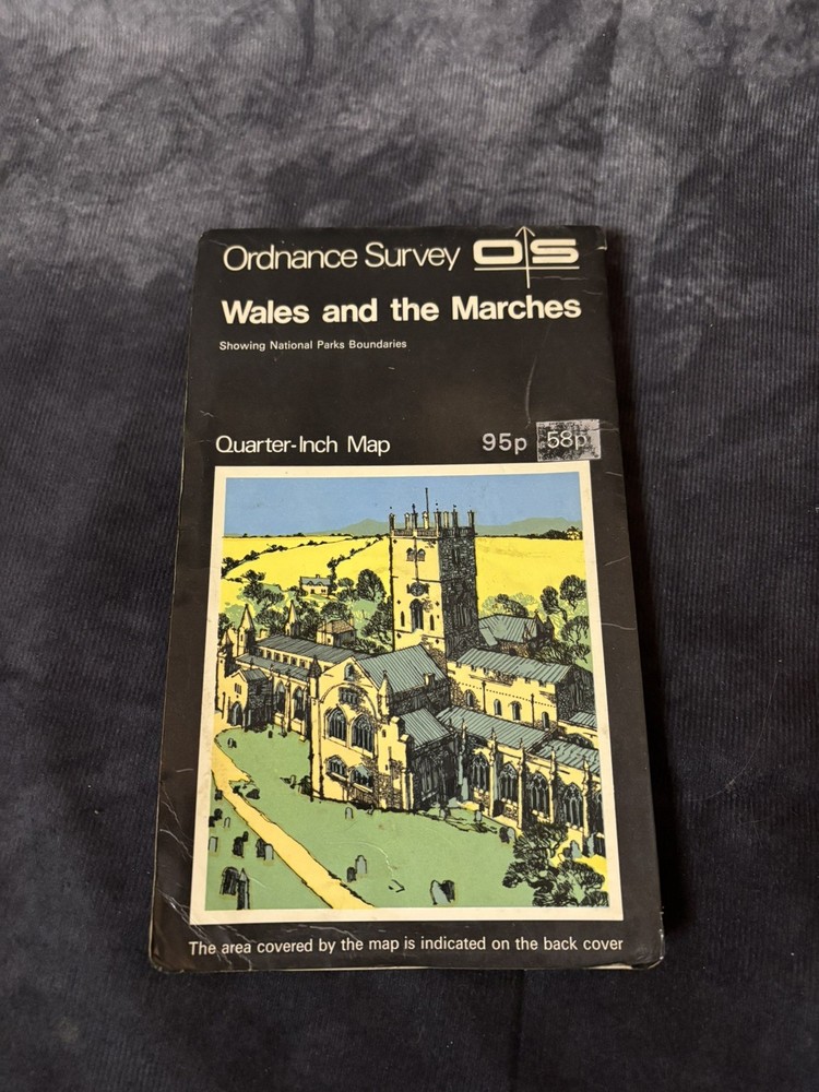
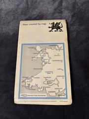
Vintage OS Quarter-Inch Map: Wales & the Marches + Dragon Cover!
USD 13.33 USD
Specifications
| Publisher | Ordnance Survey |
| Series | Ordnance Survey |
| Publication Year | 1940 |
| Type | Geological Map |
| Format | Paperback, Pamphlet |
| Language | English |
| Country | United Kingdom |
| Region | Great Britain |
| Author | Ordnance Survey |
| Country Of Origin | United Kingdom |
Titled “Wales and the Marches – Showing National Parks Boundaries”, this special sheet covers the entire principality plus the English Marches: from Snowdon and Cader Idris in the north, through the rugged Brecon Beacons and Pembrokeshire coast, to the southern shores near Cardiff, Swansea, and even touches of Bristol and Hereford.
Related Items

Get Lost!: A Travel Guide for Anywhere by Lee Crutchley: Used

Tweed Valley: Sheet 44 (Outdoor Leisure … by Ordnance Survey Sheet map, folded
Vintage 1985 Cased Road Atlas of Great Britain – Roadmaster by John Bartholomew

SHREWSBURY OLD ORDNANCE SURVEY MAP. No. 118.

Western Part of Pacific Ocean including Philippines & Indonesia | NGA 524

Cambridge Street-Names: Their Origins and Associations By Ronald

Blue Guide Sicily by Alta Macadam

COLLINS WORLD ATLAS: ILLUSTRATED EDITION BY Collins Maps PAPERBACK **NEW**