
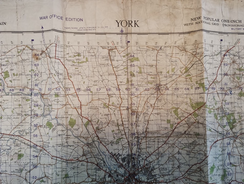
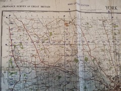
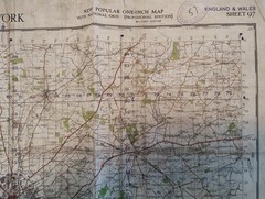
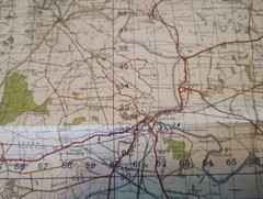
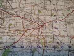
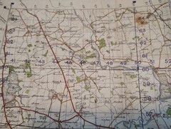


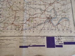


Vintage Second World War 1948 Ordnance Survey Map – York, WWII Map 97
USD 31.61 USD
Specifications
| Country Of Origin | United Kingdom |
| Publisher | War Office |
| Subject | Wars |
| Series | Ordnance Survey |
| Publication Year | 1948 |
| Type | Map |
| Language | English |
| Country | United Kingdom |
| Region | Great Britain |
| Author | Ordnance Survey |
| Features | Folding Map |
Sheet 97. This vintage Second World War 1948 Ordnance Survey map features York, providing a historical glimpse into the area during WWII. Published by the War Office in 1948, this folding map is part of the Ordnance Survey series and is written in English. Created by Ordnance Survey, the map covers Great Britain, specifically the region of York Tadcaster Selby Goole Knottingley Pontefract Castleford to name a few, in the United Kingdom. This single-page map is a valuable piece of history for those interested in wars and cartography from that era. Size of map open 70cm x 88cm, folded 24cm x 30cm. Free UK mainland postage only. If you are outside of this area please contact for a delivery quote before purchasing thank you.
Related Items
North Uist and Berneray/Uibhist a Tuath Agus Bearnaraigh (Map)
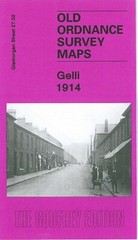
Gelli 1914 Glamorgan Sheet 27.02 by Derrick Pratt

Rick Steves’ Italian Phrase Book and Dictionary by Rick Steves 2003, pb pocket
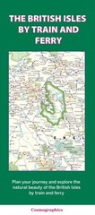
The British Isles by Train and Ferry (Sheet map, folded)

National Geographic – Hardcover, by National Geographic Society – Very Good s

Liverpool Mini Map by Geographers A-Z Map Company Sheet map, folded Book The
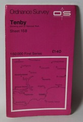
Ordnance Survey 1:50,000 Map – Tenby, Sheet 158 – 1974

Vintage Ordnance Survey Map 7th series One Inch Cloth Mounted Pwllheli 1964