
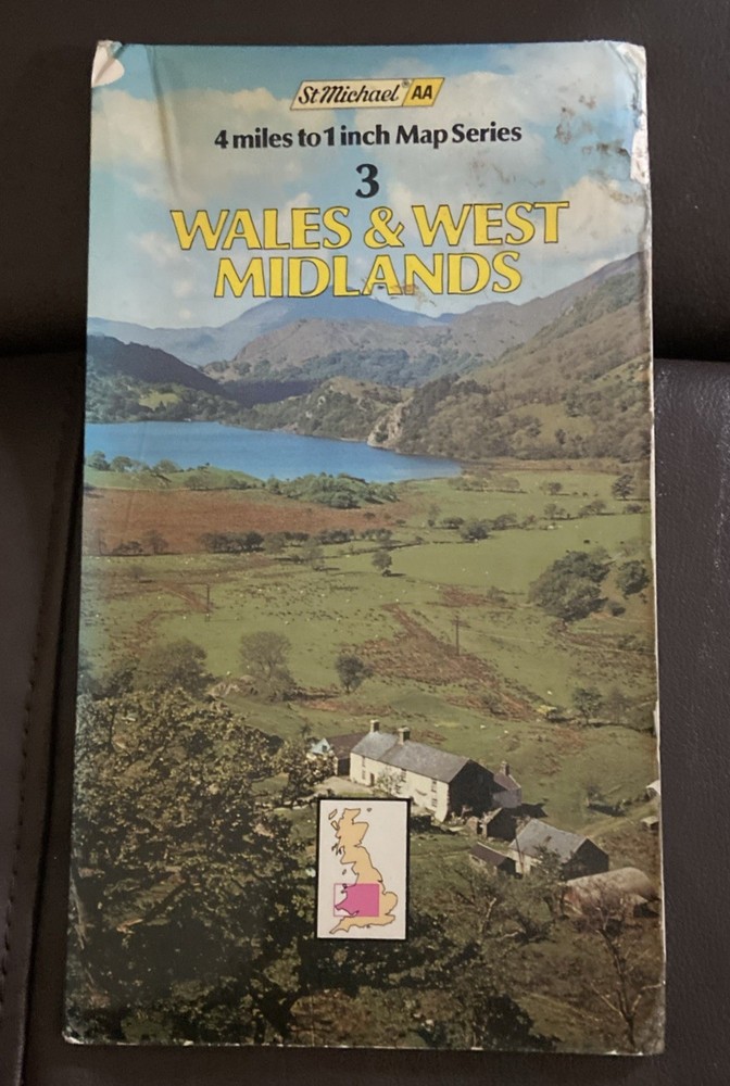
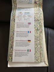
Vintage St Michael:AA Map – Wales & West Midlands 1980
USD 6.71 USD
Specifications
| Publisher | Garrod & Lofthouse |
| Subject | Geography |
| Publication Year | 1980 |
| Type | Geographic map |
| Format | Folding map |
| Language | English |
| Country | Wales, England |
| Region | Great Britain |
| Features | Folding Map |
| Map Scale | 4 miles to 1 inch |
| Country Of Origin | United Kingdom |
The cover photograph features a scenic landscape of Nant Gwynant looking towards Llyn Gwynant in Snowdonia (Eryri), North Wales, showcasing traditional stone farm buildings nestled in the valley.
Related Items

Philip’s Atlas of the World, Of British Geographers, Institute, Acceptable Book

The Times Desktop Atlas of the World (Hardback)
Barmouth 1900 Merionethshire Sheet 36.06 by Alan Leather

OS Ordnance Survey Landranger Map Sheet 185 Winchester & Basingstoke area – 1995

OS Ordnance Survey Landranger Map Sheet 89 West Cumbria – 1991

50 HIKES SOUTHERN VA 1E PA by Leonard M. Adkins: Used

Manchester (NE) 1915 or 1931 Lancashire Sheet 104.07

8 x OS MAPS JOB LOT Landranger Ordnance Survey (E3)