
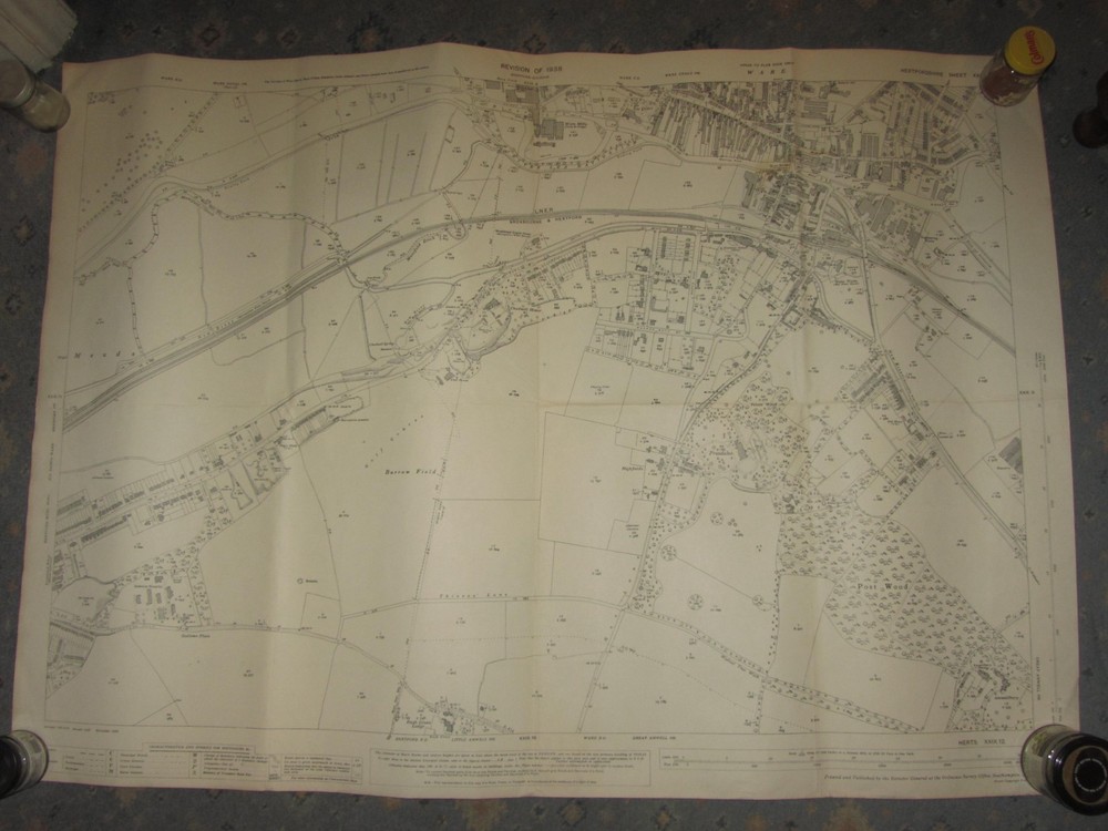
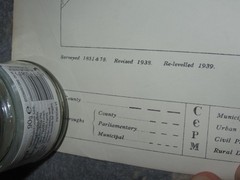
WW2 Vintage Ordnance Survey Map XXIX Herts Sheet 29.12 Hertford Ware 1938 1941
USD 12.77 USD
Specifications
| Publication Year | 1938 |
| Type | WW2 Map |
| Publication Name | Ordnance Survey |
| Author | Ordnance Survey |
| Publisher | Ordnance Survey |
| Country Of Origin | United Kingdom |
Shows Eastern part of Hertford and Southern section of Ware. XXIX 29.12 Hertfordshire Sheet. This is a Single Sheet Ordnance Survey Map dating from WW2. 1938 edition, printed by OS in 1941. Printed on a single open sheet for military use.
Related Items
(G18) Map of Oxford OX Postcode Sectors, Poster of Oxford Postcodes
Reprint First Edition Ordnance Survey Maps of England

Bermondsey & Wapping 1872 or 1914 London Sheet 77

Ordnance Survey Landranger Map – Derby & Burton upon Trent – Sheet 128 – 2002

Axminster 1903 Devon Sheet 72.05 by Richard Oliver
OS 1:50,000 Landranger Sheet 192 Exeter, Sidmouth & surrounding area, 1992

National Grid Seventh Series Sheet 20 Ullapool : Ordnance Survey
1994 The Lake District, Cumbra touring map with tourist info & camping sites