
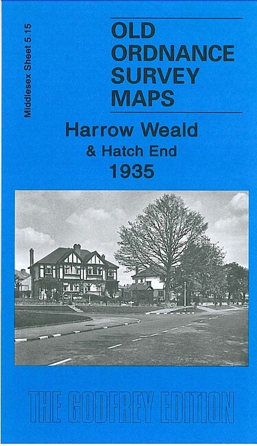
Harrow Weald & Hatch End 1935 Middlesex Sheet 5.15 by Pamela Taylor
USD 5.05 USD
Specifications
| Type | Street Map/Directory |
| Author | Pamela Taylor |
| Publisher | Alan Godfrey Maps |
| Topic | Local History |
| Subject | History |
| Country Of Origin | United Kingdom |
| ISBN | 9781847843234 |
This map covers an area from Hatch End (in the SW corner of map) eastward to Clamp Hill and northward to Old Redding. Features include the area called The City, Hatch End station, Royston Park, Clonard, Harrow Weald Park, Belgrano, All Saints church, Harrow Weald Lodge, Grim's Dyke house, Grimswood etc. On the reverse we include directories of Harrow Weald for 1890 and 1933
Related Items

Keady, Castleblayney & Bessbrook 1900 Irish One Inch Sheert 59 by Alan Godfrey

171 172 181 CHILTERN HILLS WEST EAST NORTH LOT EXPLORER ORDNANCE SURVEY MAPS OS

1994 Ordnance Survey Landranger Map 154 Cambridge & Newmarket (incl Haverhill )

Rochdale (SW) & Sudden 1908 Lancashire Sheet 88.08 by Paul Hindle

Liverpool (Shaw Street) 1848: Liverpool She… by Parrott, Kay Sheet map, folded

Vintage 1967 Ordnance Survey Seventh Series Map OXFORD & NEWBURY Sheet 158
Map Vale of Severn Bartholomew Vintage ra

Bury Town Centre 1847-59 Bury Large Scale 3 by Nigel Jepson