
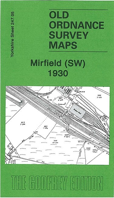
Mirfield SW 1930 or Mirfield & Ravensthorpe 1905 Yorkshire 247.05 or 247.06
USD 4.57 USD
Specifications
| Type | Street Map/Directory |
| Author | Alan Godfrey |
| Publisher | Alan Godfrey Maps |
| Topic | Local History |
| Subject | History |
This detailed map covers the central and eastern part of Mirfield, plus much of Ravensthorpe. Coverage extends from Mirfield station eastward to St Saviour's church Ravensthorpe, and from St Mary's church Mirfield southward to Hopton Bottom.
Related Items

Woodstock & Blenheim Palace 1919 Oxfordshire Sheet 26.08 by Barrie Trinder
Old Ordnance Survey Maps Old Trafford 1905

Llandrindod Wells 1902 Radnorshire sheet 23.09 by Alan Godfrey

Hampton Court & East Molesey 1912 Surrey Sheet 12.03 by Alan Godfrey

Coventry, Nuneaton & District 1899 One Inch Sheet 169 by Barrie Trinder
National Geographic Atlas Of World History, Hardcover Book 1997 HC

Horley 1912 Surrey Sheet 41.04 by Alan A Jackson

Greenford 1894 or 1939 Middlesex Sheet 15.07