
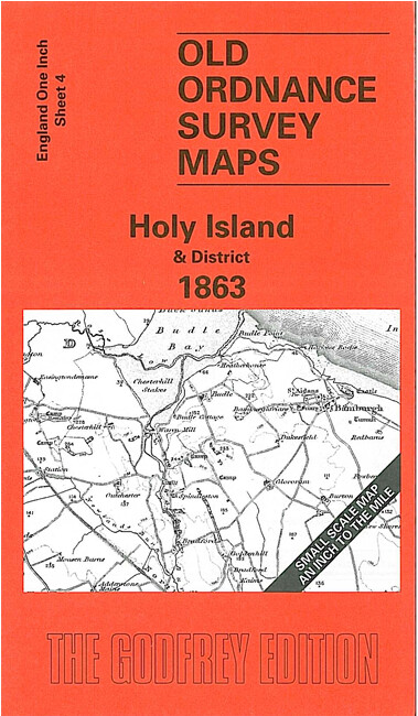
Holy Island and District 1863 or 1898 One Inch Sheet 4
USD 5.04 USD
Specifications
| Date | 1863 |
| Type | One Inch Map |
| Publisher | Alan Godfrey Maps |
| Topic | Local History |
| Subject | History |
| Country Of Origin | United Kingdom |
They also includes the Farne Islands, Seahouses, Bamburgh and Chillingham. On the reverse of the 1863 map is a detailed large scale map of Holy Island village, together with a directory; on the reverse of the 1898 version is a map of Seahouses, including part of North Sunderland.
Related Items
City of Lincoln 1905 or 1930 Lincolnshire Sheet 70.07

Ordnance Survey Map -Aberystwyth & Machynlleth -135 – 1:50000 – 2012 – Laminated

Healthy Breaks Health Farms Spas Hotels Catherine Beattie 1992 PB Book

Philips Concise World Atlas Fifth Edition Hardcover Book Great Condition

Chilvers Coton & Attleborough 1902 Warwickshire Sheet 11.13 by John Gough

OS First Edition 1884 Northfield Birmingham 1:2500 Map Ordnance Survey Large

Aberystwyth and Cwm Rheidol 213 Explorer Map Ordnance Survey + Digital Download

RAC 3 Miles to 1 Inch Yorkshire inc. Town Plans 2nd Series. Folding Paper.