
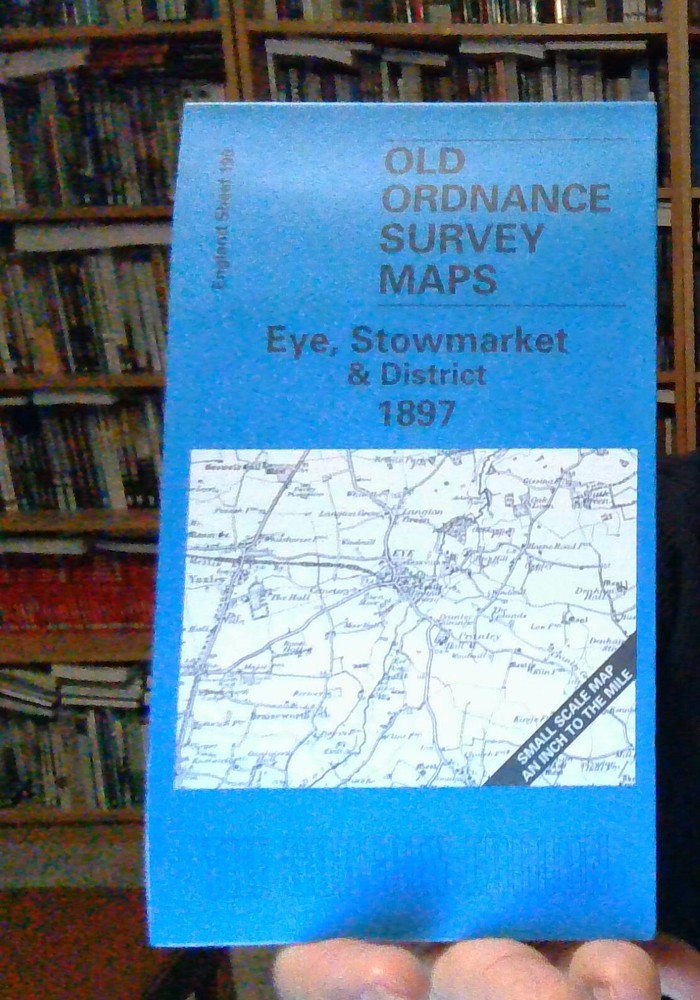
MAP OF Eye, Stowmarket & District 1897 One Inch sheet 190 by Robert Malster NEW
USD 4.64 USD
Specifications
| Type | One Inch Map |
| Author | Robert Malster |
| Publisher | Alan Godfrey Maps |
| Topic | Local History |
| Subject | History |
| ISBN | 9781841512778 |
Coverage stretches from Emswell eastward to Brundish and Kettleburgh, and from Botesdale southward to Helmingham. The boundary between East and West Suffolk - a division going back to the Middle Ages, when the western part was held by Bury Abbey and part of SE Suffolk (the Liberty of St Etheldreda) by Ely Abbey - can be seen going through the map, along Hundred Lane.
Related Items

Betws-y-coed 1911 Caernarvonshire Sheet 19.13 by Derrick Pratt
MAP OF Exeter & the Lower Exe Valley 1888 One Inch Sheet 325 by Richard Oliver
MAP OF Wigan (NW) 1907 Lancashire Sheet 93.03 by Alan Godfrey NEW 9781841518794
Airdrie (North) or (South) 1897 Lanarkshire Sheets 8.06 or 8.10
Brighton & District 1894 One Inch Sheet 318 by Barrie Trinder

Kings Lynn & District 1907 One Inch Sheet 145 by Robert Malster
OS Ordnance Survey One Inch Paper Map,of Ludlow, Sheet 129, 1952

Ronald Story Concise Historical Atlas of World War Two (Paperback) (UK IMPORT)