
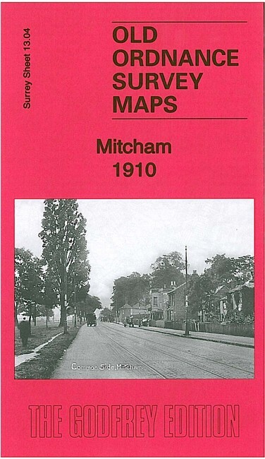
Mitcham 1910 Surrey Sheet 1304 by Richard Oliver
USD 4.66 USD
Specifications
| Type | Street Map/Directory |
| Author | Richard Oliver |
| Publisher | Alan Godfrey Maps |
| Topic | Local History |
| Subject | History |
| ISBN | 9781847845696 |
This detailed map covers Lower Mitcham and the southern half of Upper Mitcham. Coverage stretches from the Upper Green and Eastfields southward to Mitcham Junction station (which straddles the southern margin). Features include railways with Mitcham station, St Mark's church, Upper Green, Mitcham House, tramways, Mitcham Hall, Imperial Works, River Wandle, Crown Mill, Wandle Grove, watercress beds, St Peter & St Paul's church, Cricket Green, Blue Houses etc. On the reverse we include a list of private residents from a 1903 directory.
Related Items
MAP OF Brandon 1903 Suffolk Sheet 6.16 by Robert Malster 6.16 NEW

Godfrey Edition Old Ordnance Survey MAP of WARRINGTON WEST 1891 Sheet 115.04 NEW
Margate (North) or (South) 1896 Kent Sheet 25.04 or 25.08

Blandford Forum 1901 Dorset Sheet 24.07 by Jo Draper
MAP OF Pentre, Ton & Ystrad-Rhondda 1898 Glamorgan Sheet 18.14 by Derrick Pratt

MAP OF Swansea 1897 Glamorgan Sheet 24.05 NEW 9781847847010

Bitterne district Street and Road Maps of The District ( C. Small & Company.)

The Black Mountains 1908 One Inch Sheet 214 by Edward Parry