
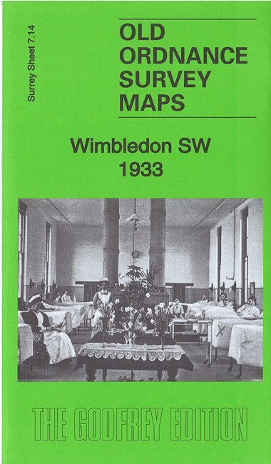
Wimbledon SW 1933 Surrey Sheet 7.14 by Richard Oliver
USD 4.99 USD
Specifications
| Type | Street Map/Directory |
| Author | Richard Oliver |
| Publisher | Alan Godfrey Maps |
| Topic | Local History |
| Subject | History |
| Country Of Origin | United Kingdom |
| ISBN | 9781787211575 |
This detailed map covers the SW part of Wimbledon, including the area around Raynes Park station. Features include railway with Raynes Park station, Cottenham Park area, St Matthew's church, RC Church of the Sacred Heart, Wimbledon College, King's College School, Crooked Billet, Copse Hill area, Christ Church, Holland Gardens, Atkinson Morley's Convalescent Hospital, Coombe Bridge etc
Related Items

Collins Superscale Atlas Britain 91/92 edition

The National Trust Atlas : places of interest England, Wales N. Ireland, 1964 HB

Zakynthos Sunflower Walking Guide (Paperback Book)
OS Ordnance Survey Landranger Map Sheet 140 Leicester Coventry & Rugby – 2003

1940s Geographia Motorists & Cyclists Clear Road Map Northern Counties No 4
One Inch Ordnance Survey Map Sheet 177 TAUNTON & LYME REGIS 1945 – Paper Vintage

Central Asia: Aksu topographic mountain map China Kyrgyzstan trekking hiking

Wyre Forest, Droitwich & Kidderminster 1907 One Inch sheet 182 by John Boynton