
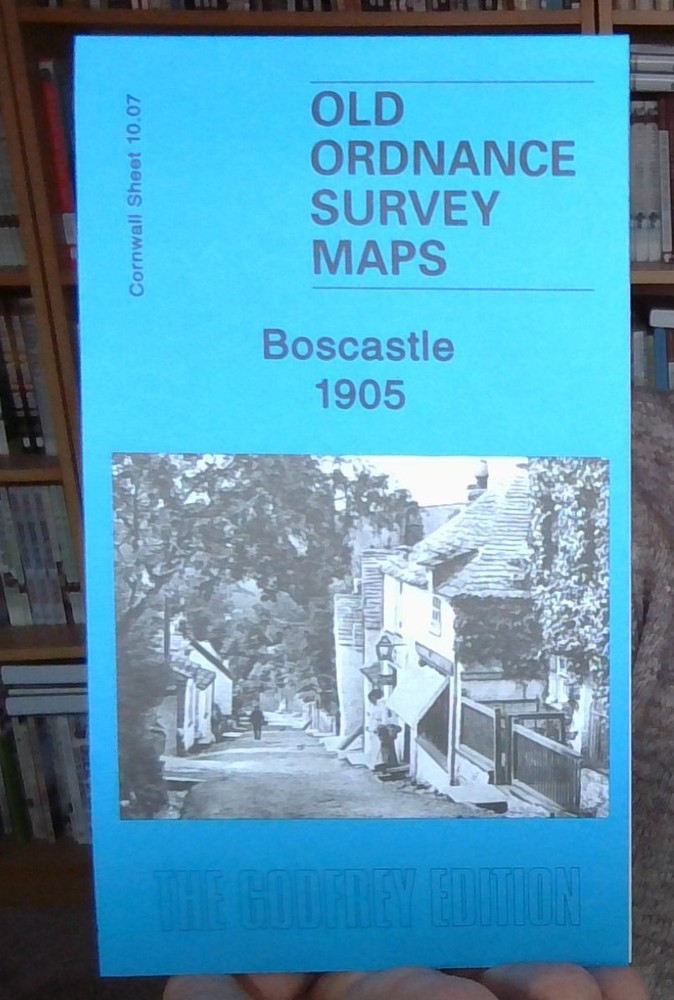
MAP OF Boscastle 1905 Cornwall Sheet 10.07 by Tom Greeves NEW 9781841518930
USD 4.93 USD
Specifications
| Type | Street Map/Directory |
| Publication Name | MAP OF Boscastle 1905 |
| Author | Tom Greeves |
| Publisher | Alan Godfrey Maps |
| Topic | Local History |
| Subject | History |
| Country Of Origin | United Kingdom |
| ISBN | 9781841518930 |
This detailed map covers much of the village of Boscastle, where the River Valency runs into the sea. Coverage stretches from Penally Point eastward to Minster Wood, and from the northern tip of High Street northward to Pentargon. Features include Penally House, Napoleon Inn, Bottreaux Castle, Boscastle Harbour, Fore Street, Dunn Street, New Road, Ship Inn, Forrabury Comnmon. St Symphorian's church Forrabury, Western Blackapit. On the reverse we include a 1910 directory.
Related Items

Westleigh 1905 & 1926 Lancashire Sheet 102.02
BRIZE NORTON Ordnance Survey Second Series Pathfinder Sheet SP 20/30 1978

Thomas Guide 2000 Napa and Sonoma Counties: Street Guide and Directory Map
MAP OF Didcot 1898 Berkshire Sheet 15.07 by Mike Jee NEW 9781847847904

Old Ordnance Survey map of Glasgow NE 1893 Sheet 6.08

Snowdon (Sheet map, folded)
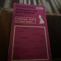
OS Ordnance Survey Landranger Map Sheet 191 Okehampton & North Dartmoor – 1982

Alan Godfrey Hull (West) 1908 (Map) Old Ordnance Survey Maps of Yorkshire