
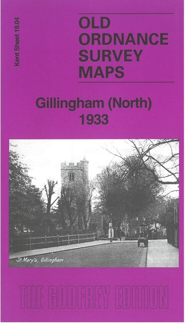
Gillingham (North) 1933 Kent Sheet 19.04 by Pamela Taylor
USD 5.05 USD
Specifications
| Type | Street Map/Directory |
| Author | Pamela Taylor |
| Publisher | Alan Godfrey Maps |
| Topic | Local History |
| Subject | History |
| Country Of Origin | United Kingdom |
| ISBN | 9781787217874 |
This map covers the busy shoreline of New Brompton and Gillingham. The many features, shown here in detail with many military and naval buildings shown but not names, include the South Lock and basins, with railway sidings, the Coal Depot and many other features; Gillingham Marshes, Hoo Ness, River Medway, St Mary's church, Gillingham Portland Cement Works, Bathing pond, Gillingham Pier, St Luke's church, etc. We include extracts from a contemporary directory.
Related Items

Antique 1900 OS Map Dumfries LVI SW Caerlaverock Lochar Moss Ruthwell Mouswald
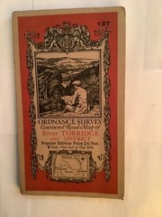
ORDNANCE SURVEY ONE-INCH MAP RIVER TORRIDGE & DISTRICT SHEET 127 1930
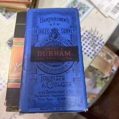
Bartholomew’s Maps Durham Vintage Antique Revised Contoured Map

Dorking, Reigate & Crawley by Ordnance Survey (Sheet map, folded)

Northampton and Market Harborough Active Map by Ordnance Survey Sheet Map 223

(G68) Map of Chelmsford CM Postcode Sectors, Poster of Chelmsford Postcodes

OS One Inch Map – Ludlow – Sheet 129 – 1947 – Ordnance Survey

85 – 204 COMPLETE SET x120 LANDRANGER OS ORDNANCE SURVEY MAPS JOB LOT BUNDLE