
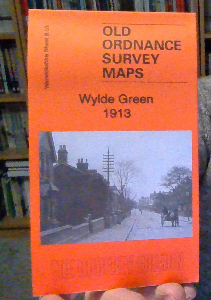
MAP OF Wylde Green 1913 Warwickshire Sheet 8.03 by Roger Lea NEW 9781847846778
USD 4.98 USD
Specifications
| Type | Street Map/Directory |
| Publication Name | Wylde Green 1913 |
| Author | Roger Lea |
| Publisher | Alan Godfrey Maps |
| Topic | Local History |
| Subject | History |
| Country Of Origin | United Kingdom |
| ISBN | 9781847846778 |
This detailed map covers the area between Sutton Coldfield and Erdington, stretching from While Road southward to Wylde Green station. Features include LNWR railway with Wylde Green station, stretch of Midland Railway Walsall & Water Orton line, New Hall, Newhall Mill, Wylde Green House, Maney area, Wylde Green area, St Peter's church Maney, Driffold, Maney House, Maney Hill, Horse & Jockey Hotel etc. We include a 1921 directory of Wylde Green on the reverse.
Related Items
Ordnance Survey No 44 Oakham reprint of first edition David & Charles

Tilbury Riverside 1916 Essex Sheet 95.12 by Tony Kirby

OS Ordnance Survey Landranger Map Sheet 127 Stafford & Telford – 2002

Antique OS Ordnance Survey Vintage Edition Map Of , GUILDFORD HORSHAM 1925

Doune & Callander 1898 Perthshire Sheet 125.13 by Pamela Hignett

Vintage Ordnance Survey Map of the Country Round London 1921. 30inc L x 39 w inc
Burrow’s Pointer Guide Map of The Borough of Twickenham (Eighth Edition).

Vintage Ordnance Survey Map Sheet 90 Penrith & Keswick First Series