
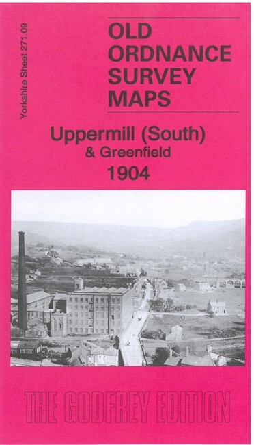
Uppermill (South) & Greenfield 1904 Yorkshire Sheet 271.09 by Alan Godfrey
USD 4.99 USD
Specifications
| Publication Year | 2021 |
| Type | Street Map/Directory |
| Author | Alan Godfrey |
| Publisher | Alan Godfrey Maps |
| Topic | Local History |
| Subject | History |
| Country Of Origin | United Kingdom |
| ISBN | 9781787214743 |
This detailed map covers the southern part of Uppermill, in Saddleworth parish. It includes part of Greenfield. Features include most of Uppermill village, LNWR Huddersfield & Manchester Line and Stalybridge & Diggle Loop Line, Greenfield station, Friezland Viaduct, Friezland and Uppermill stations, Huddersfield Canal, River Tame, Wellington Mills, Shaw Hall Bank, Rush Hill, Fur Lane, Boarshurst, Tunstead, etc
Related Items

OS Ordnance Survey Landranger Map 195 Bournemouth, Purbeck & area – 1991

Atlas of the World: Twenty-Eighth E…, George Philip &

Scratch the World Travel Map A2 – Detailed World & UK Scratch Off Poster Gift
Bedfordshire Town Centre Maps & Index Estate Publications 3rd Revision

Landranger 188. Maidstone, Kent Weald. OS 1:50,000 Map. Ordnance Survey. Vintage

Bartholomew London To And Through Map 1974 Folding Paper Map

Vintage Ordnance Survey Map 7th series One Inch Cloth Pwllheli 1952
Reversible Road Map of Great Britain 12miles/1″ England Wales Scotland Ireland