
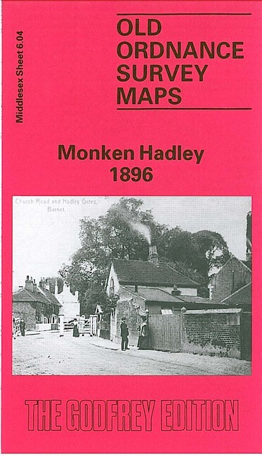
Monken Hadley 1896 Middlesex Sheet 6.04 by Stewart Gillies
USD 5.04 USD
Specifications
| Type | Street Map/Directory |
| Author | Stewart Gillies |
| Publisher | Alan Godfrey Maps |
| Topic | Local History |
| Subject | History |
| Country Of Origin | United Kingdom |
| ISBN | 9780850544107 |
So begins the introduction to this map. The village of Monken Hadley, with St Mary's church, The Priory and Gladsmuir House, is at the west of the map, and coverage extends eastward to Beech Hill Park, and southward to the northern fringe of New Barnet.
Related Items

AZ Street Atlas STOKE – on – TRENT Cheadle Congleton Leek and surrounding area

England – South West Military Edition cloth Map – Restricted – 1939.

AZ Road Map With Index 35 Miles Around London Edition 30 1999
Ordnance Survey 1:25,000 – English Lakes – NE- 1982 Ullswater & Haweswater

OS Ordnance Survey 1″ New Popular Edition sheet 83 Penrith – 1947 on paper

MAP OF Sandringham & West Newton 1904 Norfolk Sheet 23.05 by Tony Kirby NEW

NATIONAL GEOGRAPHIC ATLAS OF WORLD HISTORY, HC, BY NOEL GROVE
Admiralty Instructional Chart 5137: St Ann’s Head to Newton Noyes Pier