
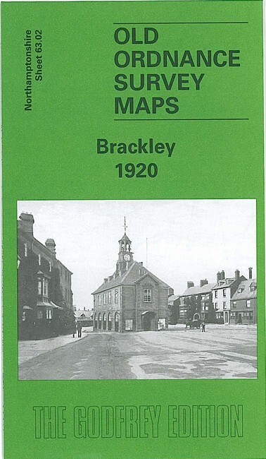
Brackley 1920 Northamptonshire Sheet 63.02 by Barrie Trinder
USD 5.02 USD
Specifications
| Type | Street Map/Directory |
| Author | Barrie Trinder |
| Publisher | Alan Godfrey Maps |
| Topic | Local History |
| Subject | History |
| Country Of Origin | United Kingdom |
| ISBN | 9781841518183 |
This detailed map of Brackley is double-sided for maximum coverage. The main map covers most of the town, with coverage stretching from the Town Hall northward to the Great Central Railway's Brackley station. Features include Market Place area, railways, Brackley Viaduct, Old Town, St Peter's church, Brewery, chapels, schools, Antelope Hill, pubs, Magdalen College Grammar School, Manor House, etc. On the reverse we include part of adjacent sheet 63.06 extending coverage southward to include LNWR station, Castle Hill, and then coverage southward to part of Evenley, including St George's church, Middle Farm, Evenley Hall.
Related Items

Vintage Ordnance Survey One Inch Bournemouth 1966 Map 179
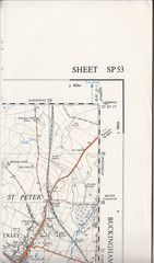
Ordnance Survey 1:25,000 First Series Map Sheet SP 53 Brackley

Historical Atlas of the United States Centennial Edition National Geographic ’88

3 Vintage OS One-Inch Maps Lot: 129 Ludlow, 130 Kidderminster, 158 Oxford

MAP OF Garstang & District 1896 One Inch Sheet 67 by Paul Hindle NEW

Silverdale 1898: Staffordshire Sheet 17.0… by Nixon, Malcolm Sheet map, folded
Ordnance Survey Sheet 103 Blackburn & Burnley Map
MAP OF Pentre, Ton & Ystrad-Rhondda 1898 Glamorgan Sheet 18.14 by Derrick Pratt