
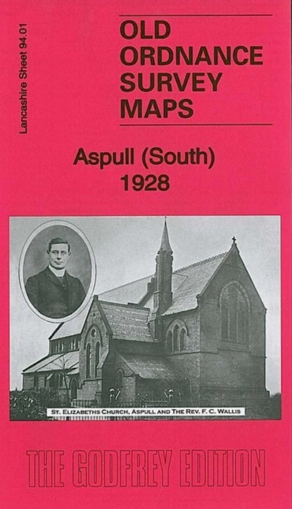
MAP OF Aspull (South) 1928 Lancashire Sheet 94.01 by Alan Godfrey NEW
USD 4.65 USD
Specifications
| Type | Street Map/Directory |
| Author | Alan Godfrey |
| Publisher | Alan Godfrey Maps |
| Topic | Local History |
| Subject | History |
| Country Of Origin | United Kingdom |
| ISBN | 9781847844675 |
Lancashire Sheet 94.01 Aspull (South) 1928 - published 2011; intro by Alan Godfrey. This highly detailed map covers the southern part of Aspull, now part of Wigan borough. Coverage stretches from Top Lock northward to the Crawford Pits, and eastward to Gidlow Hall.
Related Items

OS Ordnance Survey Landranger Maps – The Midlands – ‘very good condition’

Bartholomews Revised Half Inch Map: sheet 24 Oxfordshire – 1937 on cloth

Ordnance Survey – Seventh Series Map – Eastbourne – 1963 – sheet 183

Atholl, Glen Tilt, Beinn Dearg & Carn nan Gabhar by Ordnance Survey

West Brompton 1865-94 London Large Scale Sheet 10.18 by Alan Godfrey

(G75) Map of East London E Postcode Sectors, Poster of East London Postcodes

Brecon Beacons National Park OL13 Ordnance Survey Explorer Tuff map E Area 2007

VINTAGE OS MAP OF ROE GREEN AREA HERTFORDSHIRE DATED 1925 SIX INCHES TO ONE MILE