
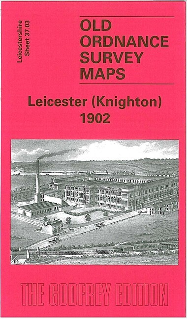
Leicester (Knighton) 1902 Leicestershire Sheet 37.03 by John Gough
USD 5.02 USD
Specifications
| Type | Street Map/Directory |
| Author | John Gough |
| Publisher | Alan Godfrey Maps |
| Topic | Local History |
| Subject | History |
| Country Of Origin | United Kingdom |
| ISBN | 9781841516936 |
This very detailed map covers the Knighton area of south Leiecester, with coverage stretching from Stoneygate Road southward to Knighton Church Road, and from Knighton Fields eastward to Knighton Grange. Features include South Knighton area, Portland Towers, Elmsleigh Hall, Knighton Frith, Knighton Hall, St Mary Magdalene's church, Clarendon Park area, Wheatsheaf Works. On the reverse we include a directory of Knighton, incl Clarendon Park Road, Knighton Road/Drive, London Road, Queen's Road and Stoneygate Road.
Related Items

Ordnance Survey Pathfinder 1154 Map – Lambourn Downs – 1:25000 – 1986

Portland & Weymouth 1912 One Inch Sheet 341/342 by Alan Godfrey

Mark Village – Somerset – Full Size fold out Vintage Map c1894 – High Quality

Buxton 1897: Derbyshire Sheet 15.13 (Old… by Griffiths, John Sheet map, folded

Gilbert Bell Paisley 1858 (Map) Old Ordnance Survey Maps of Renfrewshire

Ordnance Survey Explorer 198 Cardigan & New Quay Aberaeron 1998
Ordnance Survey 1:25,000 First Series Map Sheet NY 21 Borrowdale Cumberland

Chudleigh, Exmouth & Newton Abbot 1884-88 One Inch Sheet 339 by Richard Oliver