
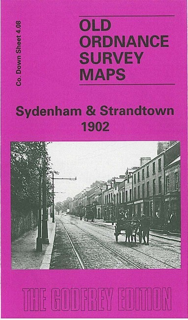
Sydenham & Strandtown 1902 County Down Sheet 4.08 by John Griffiths
USD 5.04 USD
Specifications
| Type | Street Map/Directory |
| Author | John Griffiths |
| Publisher | Alan Godfrey Maps |
| Topic | Local History |
| Subject | History |
| Country Of Origin | United Kingdom |
| ISBN | 9781841510729 |
This very detailed map is one of a group covering parts of east Belfast, east of the Lagan. Coverage stretches from Connswater Bridge eastward to Circular Road, and from Dundela Street and Belmont Road northward to the shore. Features include Victoria Park, railway with Sydenham station, Bunker's Hill, Norwood Tower, Sydenham House, Belmont Presbyterian church, Strandtown House, many other villas in grounds including Craigavon and Marmont, St Mark's church, Holywood Road area, Dundela Park, Sydenham School, Irish Distillery, Conn's Water. On the reverse we include street directories for Circular Road, Holywood Road, Palmerston Road, Sydenham Avenue and Park, Victoria Road.
Related Items
Retro 1970s RAC Map Peaks Manchester Stockport Oldham Buxton Sheffield
Carfin & Cleekhimin 1939 Lanarkshire Sheet 12.10 by Gilbert Bell

VINTAGE GEOLOGICAL MAP BEWCASTLE CUMBRIA SHEET 12 SOLID GEOLOGICAL SURVEY 1969
Vintage Ordnance Survey Map: SALISBURY & BULFORD Sheet 122 – 1 mile/1“ 1931

Ordnance Survey Map Of Bristol & Newport Sheet 155
MAP OF Breckland 1907 One Inch sheet 174 by Alan Crosby NEW 9781841513287
Let’s Walk the North York Moors, The Western Area, 1st Edition – Brand New
Vtg. 1960’s BP Road Map Of Southern England