
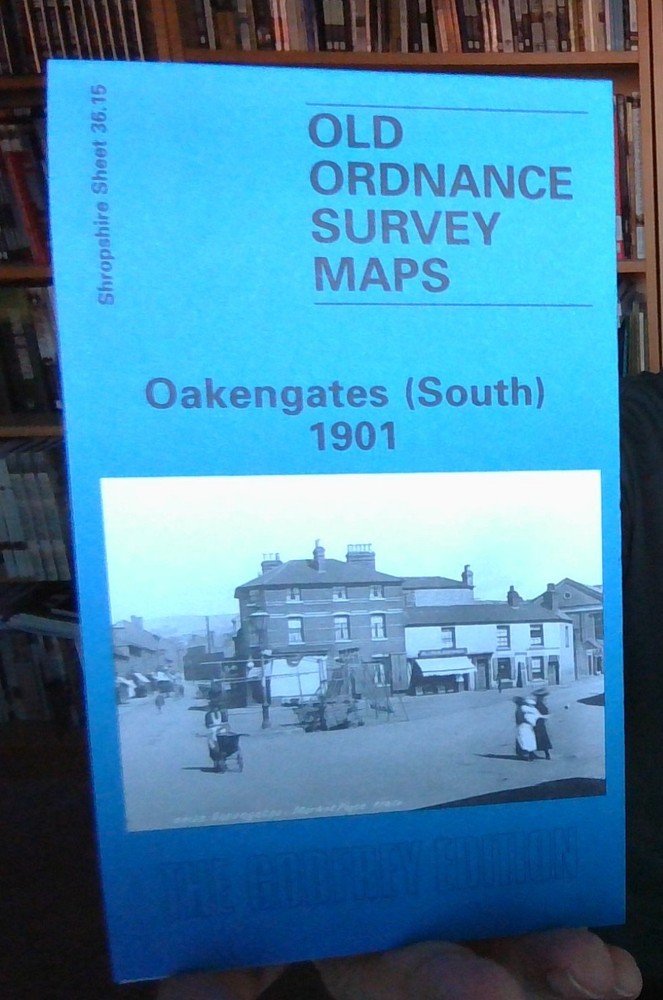
MAP OF Oakengates (South) 1901 Shropshire Sheet 36.15 by Barrie Trinder NEW
USD 4.98 USD
Specifications
| Type | Street Map/Directory |
| Author | Barrie Trinder |
| Publisher | Alan Godfrey Maps |
| Topic | Local History |
| Subject | History |
| Country Of Origin | United Kingdom |
| ISBN | 9780850547481 |
This detailed map of Oakengates covers the southern part of the town and stretches as far south to include Pudley Hill Colliery and Forge Row just south of Hollinswood. From west to east includes Mossey Green and Snowhill. Features on the map include Snedhill Barracks, St Peter's Church, Steel Works, Pudleyhill Colliery, Holy Trinity Church, Oakengates Station and GWR Railway Line. On the reverse of the map we include an extract from a commercial directory.
Related Items

BARTHOLOMEW Half Inch Cloth Maps x4 1960s Huddersfield Doncaster Bodmin Ludlow

Ordnance Survey Landranger Map Sheet 130 Grantham & Surrounding Area 1990. T3

Route Map Scotland Bartholomew Tourist Collectable Vintage ra
Knighton 1926 Radnorshire Sheet 11.14 by Barrie Trinder

1993 Ordnance Survey Pathfinder Map 954 SP 07/17 Solihull And Alvechurch

Explore Australia By Four-Wheel Drive + Readers Digest Motoring Guide To Austral

Bala & Welshpool – 1963 – One Inch Map – Paper Sheet 117 – OS Ordnance Survey

1985 Ordnance Survey Pathfinder Map TL 41/51 Harlow North And Hatfield Heath