
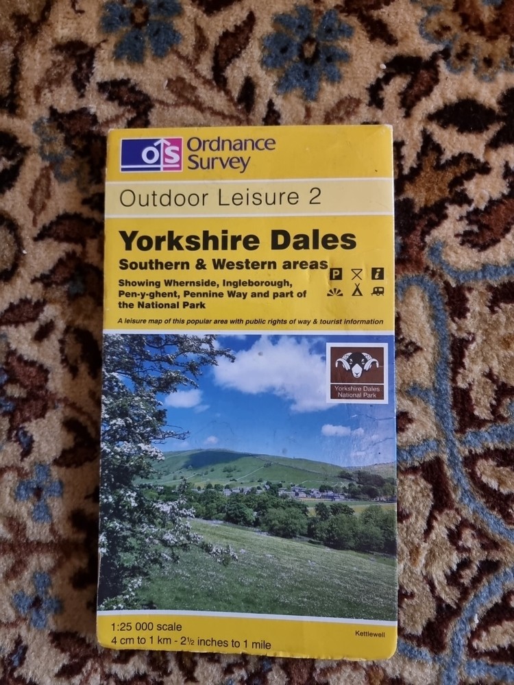
Ordnance Survey Outdoor Leisure 2 Yorkshire Dale’s South & West.
USD 5.35 USD
Specifications
| Binding | Sheet map, folded |
| Artist | Ordnance Survey |
| Publisher | Ordnance Survey |
| Subject | Transportation |
| Type | Travel Maps |
| Format | Sheet Map |
| Language | English |
| Item Height | 230 mm |
| Author | Ordnance Survey |
| Features | Folding Map |
| Map Scale | 1:25,000 |
| Country Of Origin | United Kingdom |
Belonged to my brother Covers Whernside, Ingleborough, Pen-y-ghent, Pennine Way and part of the National Park
Related Items
Spain map 0494-I: Andorra (57-37) hiking walking topographic 1:25K
Ordnance Survey (OS) 1:25,000 First Series Map Sheet SJ 93 Stone (East) Stafford

The Penguin State of the Middle East Atlas : Completely Revised a

Wealdstone & Hatch End 1935 Middlesex Sheet 10.03 by Pamela Taylor

Swindon Devizes Landranger Ordnance Survey Map Marlborough Trowbridge

Camden Town 1870-94 London Large Scale Sheet 7.22 by Pamela Taylor

Switzerland Map 1:303,000 Terra International 1983

Cape Hatteras to Straits of Florida | Waterproof NOAA Chart 11009