
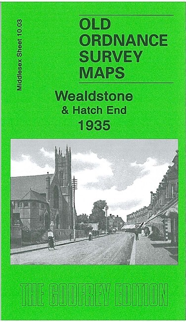
Wealdstone & Hatch End 1935 Middlesex Sheet 10.03 by Pamela Taylor
USD 5.05 USD
Specifications
| Type | Street Map/Directory |
| Author | Pamela Taylor |
| Publisher | Alan Godfrey Maps |
| Topic | Local History |
| Subject | History |
| Country Of Origin | United Kingdom |
| ISBN | 9781847842978 |
This detailed map covers the the NW part of Wealdstone, with coverage extending to Hatch End. Coverage stretches from Wealdstone High Street westward to Pinner Park, and from Boxtree Road southward to Gordon Road. Features include stretch of LMS railway with Headstone Lane station, southern part of Hatch End, Harrow Weald area, Kodak Works, cabinet factory, Whitefriars Glass Works, Sacred Heart High School, Wealdstone House, Belmont Lodge, Headstone. The eastern half of the map especially is largely residential and all houses are neatly shown. On the reverse we include a Wealdstone directory, including private inhabitants, plus the commercial entry A-D.
Related Items

OS Ordnance Survey Landranger Map 1990, Sheet 140 – LEICESTER, COVENTRY & RUGBY

Robin Pearson Tipton 1904 (Map) Old O.S. Maps of Staffordshire
Chester-le-Street 1895 or 1915 County Durham Sheet 13.09

World Atlas Millennium Edition 1999 – Large Dorling Kindersley Hardcover book

Hanworth & NW Hampton 1934 Middlesex Sheet 25.02 by Pamela Taylor

Bartholomew’s Revised Half Inch Contoured Map Vale Of Severn UK Cloth Map

VINTAGE GEOLOGICAL MAP PICKERING N YORKSHIRE SHEET 53 GEOLOGICAL SURVEY 1960

Imray Chart Pack 2200: The Solent (Spiral Bound)