
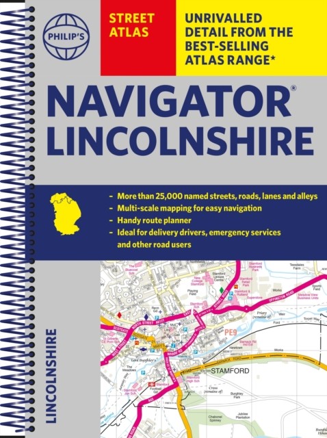

Philip’s Navigator Street Atlas Lincolnshire by Philip’s Maps (Spiral bound)
USD 19.90 USD
Specifications
| Author | Philip's Maps |
| Publication Year | 2022 |
| Format | Spiral bound |
| Language | eng |
| Country Of Origin | United Kingdom |
| Item Height | 1.7 cm |
| Item Length | 19.4 cm |
| Item Weight | 624 g |
| Item Width | 27.2 cm |
| Publication Name | Not Available |
| Type | Not Available |
| ISBN | 9781849075718 |
The only county Street Atlas with all the named streets of Lincolnshire and perfect back-up for emergency services, delivery drivers, visitors and locals. With more than 24,000 named streets, roads, lanes and alleys, this is the essential map book for residents and visitors - especially if you're in a hurry. Includes all the streets in BOSTON, GRANTHAM, GRIMSBY, LINCOLN, PETERBOROUGH, SCUNTHORPE, Alford, Barton-upon-Humber, Bourne, Brigg, Chapel St Leonards, Cleethorpes, Coningsby, Gainsborough, Holbeach, Horncastle, Immingham, Long Sutton, Louth, Mablethorpe, Market Deeping, Market Rasen, Skegness, Sleaford, Spalding, Spilsby, Stamford.
Related Items

Ordnance Survey – Popular Edition – One Inch Map (National Grid) – see images

Vintage OS Landranger Map Saxmundham Aldeburgh Suffolk Sheet 156 1990s Series

Satellite Atlas Of The World NPA Group Oxford Black HC DJ Maps Photography

JOB LOT 15 Ordnance Survey Maps Orange 1950s Seventh Edition One-Inch Britain
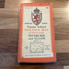
INVERURIE & ELLON Scotland Ordnance Survey 1 In Sh 40 Popular Edition 1946 CLOTH

Past & Present Maps (Cassini Historical Maps) and Old Series

Philip’s 2019 Multiscale Road Atlas Europe: (Sp… by Philip’s Maps Spiral bound

Alnwick & Morpeth (Sheet map, folded)