
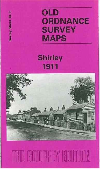
Shirley 1911 Surrey Sheet 14.11 by Colin Williamson
USD 5.05 USD
Specifications
| Type | Street Map/Directory |
| Author | Colin Williamson |
| Publisher | Alan Godfrey Maps |
| Topic | Local History |
| Subject | History |
| Country Of Origin | United Kingdom |
| ISBN | 9781841510064 |
Part of Addiscombe, including Addiscombe Farm, is in the NW corner, Coombe Park and Coombe Farm in the SW. The rest of the map is quite rural and includes the village of Shirley, including Upper Shirley, St John's church, Pole Wood, Shirley Park, with coverage extending eastward to Swiss Lodge.
Related Items
SWINDON Sheet 157 1940 CLOTH Sixth Edition Ordnance Survey 1 Inch Marlborough

ORDNANCE SURVEY SHEET MAP BRISTOL & STROUD SHEET 156 VGC NO RIPS TEARS
SHELL Road Maps No 1, 2 5, 6, 7 Scotland Southern Eastern Northern England

ordnance survey maps scotland. Loch Assynt 15, Inverness 26, Beinn Dearg 20
Openshaw 1905: Lancashire Sheet 104.12 … by Makepeace, Chris Sheet map, folded

North Skye, Dunvegan & Portree by Ordnance Survey (Sheet map, folded)

WINCHESTER Sheet 168 1945 CLOTH Sixth Edition Ordnance Survey 1 Inch

Newton on Ayr 1908 Ayrshire Sheet 33.02 by Gilbert Bell