
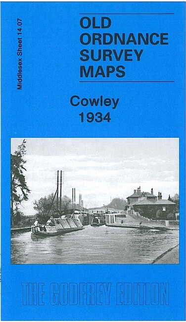
Cowley 1934 Middlesex Sheet 14.07 by Peter Hounsell
USD 5.00 USD
Specifications
| Type | Street Map/Directory |
| Author | Peter Hounsell |
| Publisher | Alan Godfrey Maps |
| Topic | Local History |
| Subject | History |
| Country Of Origin | United Kingdom |
| ISBN | 9781847843340 |
This detailed map covers the Middlesex village of Cowley, just south of Uxbridge. Please note that the Buckinghamshire area of the map is left blank. Coverage stretches from Queen's Road southward to Cowley Crescent, and from the GWR railway westward to the county boundary. Features include Neptune Works, Grand Union Canal, Yiewsley Mill House, Old Mill House, Clisby's Bridge, Cowley House, GWR branch with Cowley station, Cowley Grove, Shovel Inn. On the reverse we include directories for Cowley in 1890 and 1933.
Related Items

March. Pathfinder 920. TL 49/59. OS 2.5inch Vintage Map.

OS Ordnance Survey Outdoor Leisure / Explorer maps – very good condition

Storm drainage design maps – The Wallingford Procedure

Wandsworth 1894 or 1913 London Sheet 114

Deluxe Scratch Off World Map & Poster – Track Your Travels Beautifully

Benbecula Ordance Survey map Sheet no. 22 (special library edition)

Rare 1946 Vintage Ordnance OS Map 2 Great Britain Scotland SW 4thEdition Mancave

Knutsford South, 1908, Old Ordnance Survey Maps, Godfrey Edition