
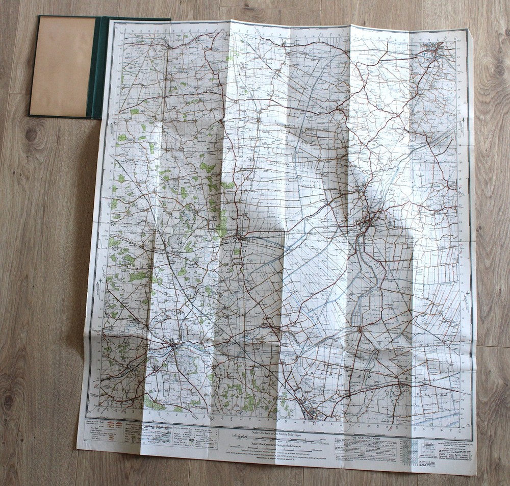

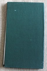

1946 Ordnance Survey Contoured Road Map Spalding Stamford Boston Lincolnshire
USD 9.31 USD
Specifications
| Publication Name | Ordnance Survey map |
| Publisher | Ordnance Survey |
| Subject | Geography & Geosciences |
| Publication Year | 1946 |
| Series | Ordnance Survey |
| Type | Map |
| Unit Type | Unit |
| Format | Cloth Book |
| Language | English |
| Item Height | 81 cm |
| Region | Europe, Great Britain |
| Country | England, United Kingdom |
| Author | unknown |
| Features | Folding Map |
| Map Scale | 1 inch to 1 mile |
| Item Weight | 300 g |
| Item Width | 69 cm |
| Country Of Origin | United Kingdom |
ORDNANCE SURVEY.
Related Items

The Complete SAS Guide to Safe Travel By Nick Cameron

1987 Ordnance Survey Pathfinder Map 766 TF 27/37 Tetford & Baumber inc Brinkhill

Collins World Atlas: Reference Edition

How to be a Better Tourist: Tips for a Truly Rewarding Vacation – GOOD

Staying Healthy in Asia, Africa, and Latin America – Paperback – GOOD

Bartholomew’s Map of England and Wales, Sheet 4, Durham , J. Bartholomew, Very G

A Naturalist’s Guide to the Birds of India by Bikram Grewal (Paperback Book)
Ordnance Survey Landranger Series Maps 1:50000 (Create your own Bundle)